Tropical Depression MEARI – one out of five LPA’s
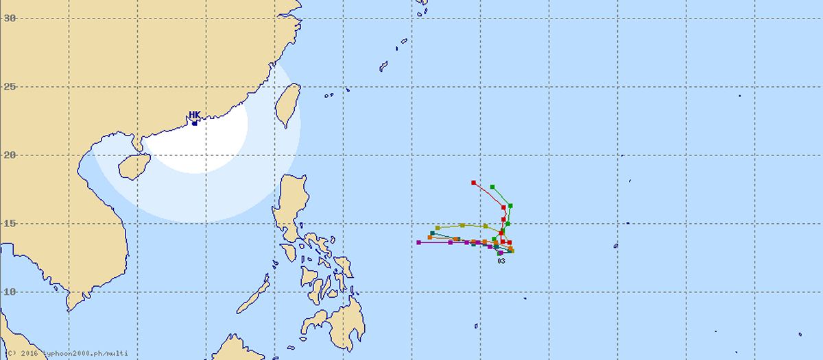
Two Tropical Depressions out of five Low Pressure Areas did develop. One of them, the former #2 has already gotten a name: Tropical Depression MEARI.
These had been the situation on October 31:
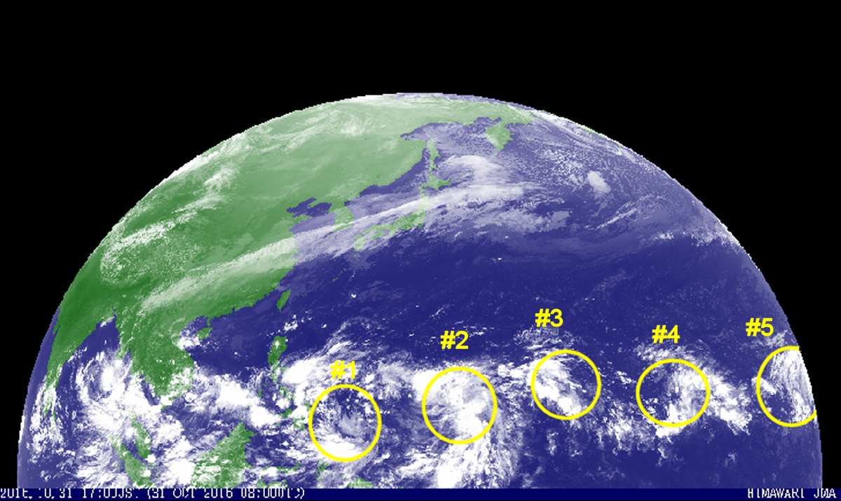
- #1 had brought rainy days on November 1 and 2 to the southern Philippines.
- #2 has developed into TD MEARI, more about this depression below
- #3 has moved north-west and is already at 18° North. It is still weak with 996 to 1000 hPa
- #4 and #5 show no significant development and may vanish
Tropical Depression MEARI
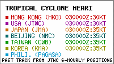
This tropical depression is not yet well organized and still shows juvenile behavior. In the last 6 hours it moved westward at about 15 km/h. The detailed past track of JMA shows the not yet stable direction:
There seems even to be a backward movement.
The Global Typhoon Models are not in good agreement on where the potential storm will really go. In the coming days, a much clearer picture on its track will arise as these models try to converge. Also the density of observation stations out in the Pacific is to low to give more accurate position information. This one of the reasons, why the track forecasts of the different observatories are still very divergent. As always, we stay with JMA.
JMA forecast for the next 3 days:
Decrease of pressure from now 996 hPa down to 975 hPa
Increase of wind speed from now 65 km/h up to 110 km/h
The forward speed decreases and the depression stays almost stationary
JTWC forecast for the next 3 days:
Wave hight around 3m or 10ft
Increase of wind speed from now 55 km/h up to 120 km/h
The forward speed decreases
We keep an eye on the Pacific and the depressions.
The satellite video loops are here.
[GARD]






Recent Comments