Tropical Storm BOPHA update 12:00 noon on November 29, 2012
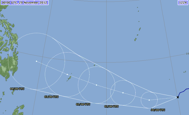
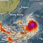
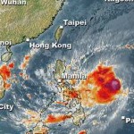
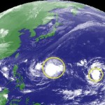
Tropical Storm BOPHA is still moving extremely south (only 4.4° north). GDACS (The Global Disaster Alert and Coordination System) has issued an orange alert for Palau at 08:00 AM this morning.
If Tropical Storm BOPHA continues at current speed and current direction it will make landfall around 07:00 AM on December 5, 2012. See also our storm data below. We shall be tracking this storm in the next days.
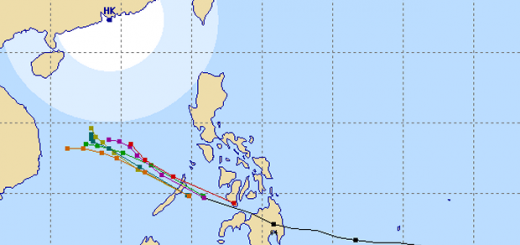
The Japanese Meteorological Agency (JMA) still forecasts a very southern track with destination Mindanao.
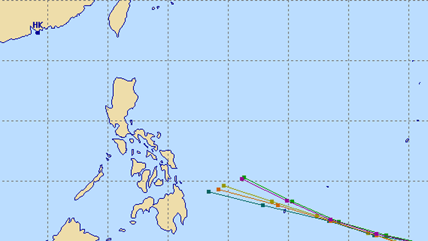
The multi-agency forecast has narrowed and points now to northern Mindanao and Samar.
Storm data:
| Name (INTL. / local): | BOPHA |
| Class: | Tropical Storm |
| Time/Date of observation: | 05:00 AM on November 29, 2012 |
| Location of Center: | 4.4º North 150.5º East |
| Moving Direction and Speed: | WSW @ 19 km/h = 11.8 mph |
| Moving towards: | Yap Palau Area |
| Distance from the Philippines: | 2,662 km from Mindanao |
| Estimated Date / Time of Landfall: | ~ 07:00 AM on December 5, 2012 |
| Max. Wind Speed near Center: | 100 km/h = 62 mph |
| Peak Wind Gusts: | 130 km/h = 81 mph |
| Minimum Central Pressure: | 982 hPa |
| Diameter: | 555 km =345 mi |
| 24h Rainfall near Center: | 350 mm = 13.7 in |
| Max. Wave Height: | 5.5 m = 18 ft |
Here you find how to read and understand this data  |
|
PAGASA warnings and signals:
| Signal 1 30-60 km/h |
Signal 2 60-100 km/h |
Signal 3 100-185 km/h |
Signal 4 above 185 km/h |
| n/a | n/a | n/a | n/a |
Here you find you find more information about the storm warning signals  |
|||



Recent Comments