Earthquakes Philippines

Earthquakes Philippines page is updated and enhanced. The recent earthquake swarm in the sea off Cortes in Surigao del Sur and an interesting feedback from Juerg in Makato motivated us to make these changes.
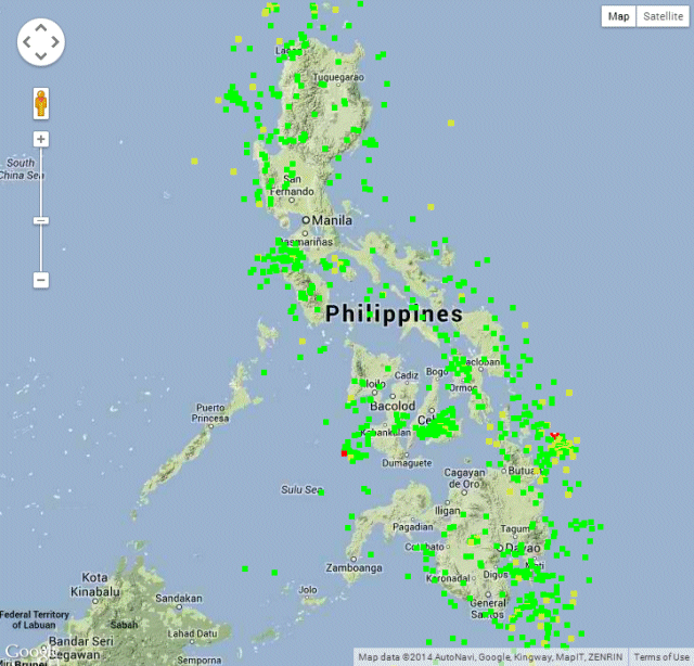
Since 2011 we publish a daily updated map of the earthquakes in the Philippines. This map shows where the earth shakes very often this year (e.g. Bohol) and where it is very quiet (e.g. Palawan).
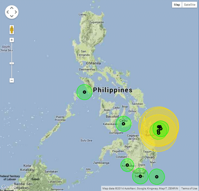
The big problem of this map is to find recent earthquakes. This is why we created a new map with the ten most recent earthquakes. Aside the map you also may find the list of these 10 earthquakes.
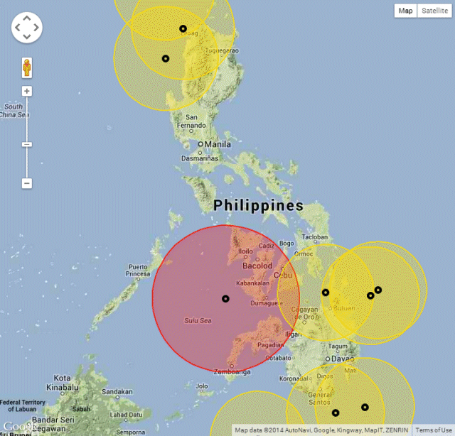
People often discuss about the strongest earthquake this year. We created an interactive map to help finding these strong quakes. The center point and the table provide more data.
All maps are based on data we get from PHIVOLCS. Unfortunately PHIVOLCS uses a word-processor to create their data-page. And unfortunately every operator adds more or less spaces. This is makes it very difficult to process the data automatically. For the moment we transcribe this date semi-automatically. In the near future it should be done automatically once per hour.
And by the way, we just recorded earthquake number 818 !
[GARD]


Recent Comments