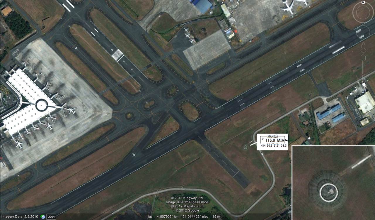
No distance to NAIA !
Yesterday night at 22:53 a NOTAM from NAIA made many pilots shake their head:
B0904/12 NOTAMN
Q) RPHI/QNMAS/IV/BO /AE/000/999/1431N12101E025
A) RPLL B) 1205302300 C) 1205310800
E) MANILA DVOR/DME MIA 113.8MHZ/CH85X, DME PART U/S.
CREATED: 30 May 2012 22:53:00
SOURCE: EUECYIYN

The distance measuring equipment of the MIA VOR/DME is out of order.
This means that the pilot knows where MIA is, but he does not know at what distance. With distance information available, the pilot can be much more certain of where he is on the approach.
 How can the pilot be sure that he is at the waypoints BETEL, KEERO or BORGA. The direction is good but the distance is missing.
This is not a very big problem because today’s commercial aircrafts are equipped with GPS which allows to determine the exact position.
The problem is rather that NAIA’s equipment fails in a weekly rhythm and that there is no replacement equipment available.
Related posts
 February 19, 2017 Manila Radar Maintenance and Upgrade – Avoid flying from March 6 to 11, 2017! * * * Update #1 * * * Manila Radar Maintenance and Upgrade will heavily disturb flight operations.
Pursuant to the Notice to Airmen (NOTAM) issued by the […]
February 19, 2017 Manila Radar Maintenance and Upgrade – Avoid flying from March 6 to 11, 2017! * * * Update #1 * * * Manila Radar Maintenance and Upgrade will heavily disturb flight operations.
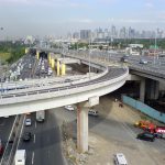
Pursuant to the Notice to Airmen (NOTAM) issued by the […]- September 22, 2016 NAIA Expressway is open – good news for transit passengers Parts of the NAIA Expressway have been opened today. This expensive project, PHP 17.9 Billion | USD 374.76 Million, will decongest the […]
- October 1, 2015 Figure Skating – the new NAIA sport Manila's International Airport, NAIA, has created a new kind of sport: Figure Skating in the Sky. Due to permanent lack of capacity and […]
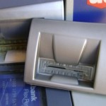
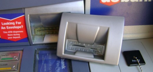
- September 30, 2015 ATM Skimming Devices seized at NAIA ABS-CBN reported early this morning that the Bureau of Customs on Monday had seized 571 card skimming devices from a checked-in baggage at […]
- September 24, 2015 Planted Bullets in Manila Airport (NAIA)? Does Transportation Security staff 'plant' bullets in passenger's luggage at Manila's airport? One might think so. The Inquirer reported […]


hi
the answer of all thisd not working equipment in NAIA can be only: TRUST in GOD. I feach crew start with a prayer befor approaching NAIA, walang problema.
as we know, in many passenger vessels on sea, its helping everyday against engine trouble, rosted hull, wrong handling, wrong weather-prognostics……
we have to believe much !
Isn’t this equipment unreliable since 2010? http://www.gmanetwork.com/news/story/195453/news/nation/naia-navigational-equipment-fixed-but-govt-still-needs-to-buy-a-new-one
Has the government bought a new one and is this the one which broke down or is it still the 20 year old equipment?