Red Alert – Typhoon KAMMURI / Tisoy moves towards Philippines

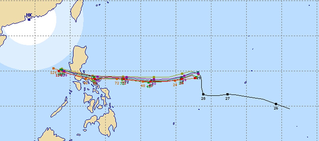
Typhoon KAMMURI / Tisoy has again turned westwards.
Analysis from 06:45 UTC (2:45 PM PST): This typhoon is currently almost stationary meaning that its center does not move. The circular winds near the center blow at 80 kt (148 km/h). Gusts can go up to 115 kt (212 km/h). The central pressure is 955 hPa.
Forecast November 30 at 06:00 UTC (2:00 PM PST): Typhoon KAMMURI / Tisoy becomes stronger with a central pressure down to 940 hPa. It is moving westward at 7 kt (15 km/h). The circular winds near the center go up to 90 kt (166 km/h) and gusts are expected at 130 kt (240 km/h).
Landfall in the Philippines: Typhoon KAMMURI / Tisoy will touch the coast in Catanduanes, between 3 to 4 AM PST on Tuesday (Dec 03). It will hit with a High Strike Probability of 80%.
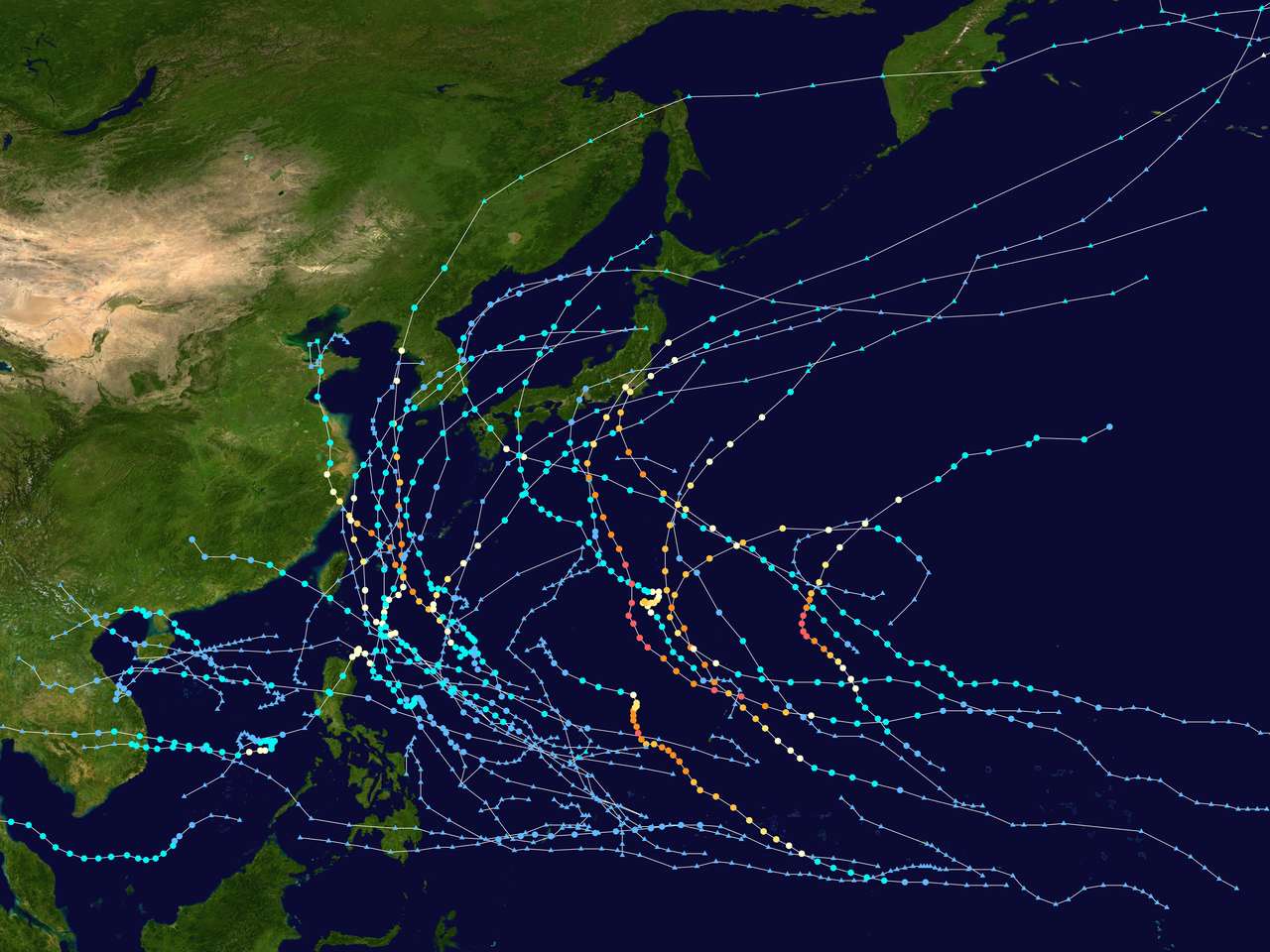
Second Typhoon in 2019
It is astonishing that Typhoon KAMMURI / Tisoy is only the second typhoon that hits the Philippines this year. On November 17, Typhoon KALMAEGI / Ramon entered favorable waters and then intensified into a severe tropical storm. By the next day, Kalmaegi intensified into a Category 1 typhoon. It was forecasted to hit the Ilocos region. On November 20, it hit Santa Ana, Cagayan instead of the Ilocos Region. It then rapidly dissipated inland.
All other severe storms and typhoons turned north before arriving in the Philippines.
 Map provided by Wikipedia.
Typhoon KAMMURI / Tisoy – WARNING
People living in Catanduanes, Albay, and Camarines Provinces should now prepare the arrival of Typhoon KAMMURI / Tisoy. There are about 3 days left. Use this time to fortify your house. Bring valuables to safe places and move away from sea shore, slopes and rivers.
Beware of heavy rainfalls of up to 500 mm in 24 hours.
More up to date information is here and here.
[GARD]


Recent Comments