Typhoon HAGUPIT/Ruby – the tracks spread
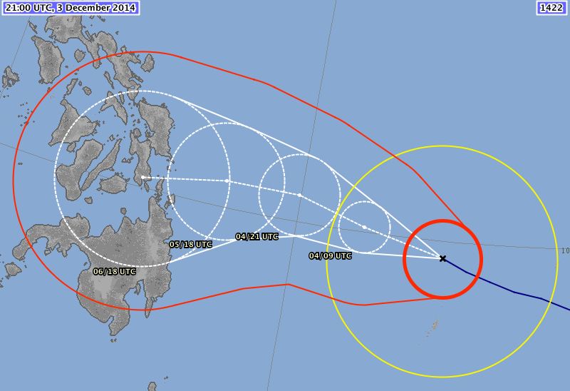
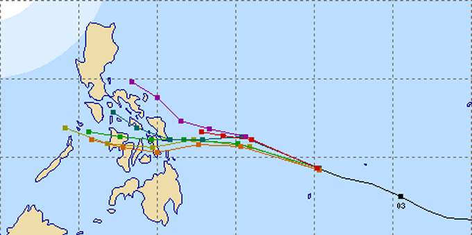
Typhoon HAGUPIT/Ruby – the tracks spread now more and more. The southernmost and fastest track is maintained by Japan’s JMA. US’s JTWC on the other side sees the typhoon slowly going towards northern Luzon. The other agencies spread between the two extremes. Typhoon HAGUPIT/Ruby becomes more and more a showdown between the forecast models. Meanwhile Typhoon HAGUPIT/Ruby has been upgraded to Super Typhoon Category 4.
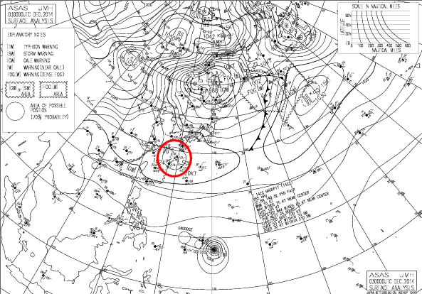
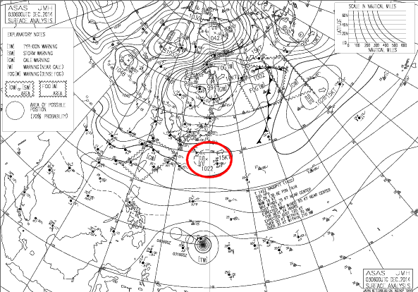
The only thing that is clear at this moment is the important role of the high pressure areas in continental Asia. These high pressure areas prevent Typhoon HAGUPIT/Ruby moving northwards. If they weaken, the storm will follow the American track, if they rest stable the storm will follow the Japanese track.
The Pressure map
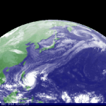
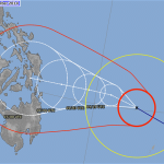
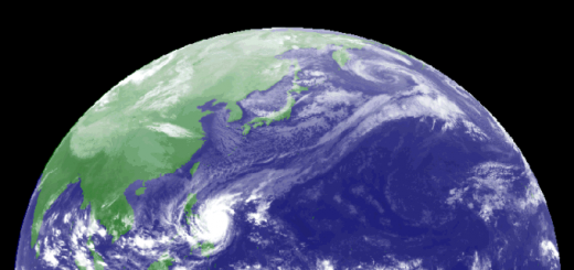
This is the reason why now all eyes are on the isobars maps covering eastern Asia.
 |
 |
 |
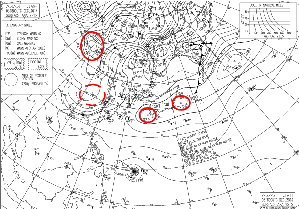 |
The red circles show the positions of the dominant high pressure areas in the last 24 hours. Follow them from top left to down right to see the change. You may enlarge the maps by clicking on them. Current isobar map is here.
Typhoon HAGUPIT/Ruby Storm data
| Name (INTL. / local): | HAGUPIT/Ruby |
| Class: | Super Typhoon Cat.4 |
| Time/Date of observation: | 05:00 AM on December 4, 2014 |
| Location of Center: | 9.6º North 134.4º East |
| Moving Direction and Speed: | West – Northwest @ 31 km/h |
| Moving towards: | Siargao / Samar |
| Distance from the Philippines: | 975 km E of Surigao |
| Estimated Date / Time of Landfall: | Saturday / Sunday |
| Max. Wind Speed near Center: | 220 km/h |
| Peak Wind Gusts: | 280 km/h |
| Minimum Central Pressure: | 926 hPa |
| Diameter: | 990 km |
| 24h Rainfall near Center: | 100 – 300 mm |
| Max. Wave Height: | 10 – 15 m |
| Here you find how to read and understand this data | |
Next update around noon today
Nearly real-time storm information
[GARD]






Recent Comments