Typhoon KOPPU/Lando – Floods and Landslides

Floods and Landslides haunt the northern provinces, especially Nueva Ecija. Typhoon KOPPU/Lando still dumps up to 133mm of rain per hour within its 600-kilometer radius. Four major dams in Luzon have opened their gates Sunday to release water.
Title photo courtesy of Dennis Datu, DZMM.
While extreme storm winds initially created havoc in Aurora and Nueva Ecija, the predicted floods and landslides brought destruction and interrupted almost all roads in the north. Residents of flood-hit towns in Nueva Ecija have climbed onto their rooftops as they wait to be rescued. But even boats could not reach all of them, so entire families passed the night on the roofs.
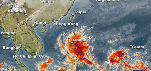
Typhoon KOPPU/Lando has now moved out of the westcoast in the vicinity of San Fernando, La Union. All weather agencies forecast a sharp turn north-northeast and the comeback of the storm over northern Luzon. Meanwhile the cyclone has lost lot of its power and is now a Typhoon Category 1. The storm will remain over northern Luzon at least until Wednesday.
Typhoon KOPPU/Lando track forecast

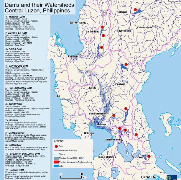
The Dams
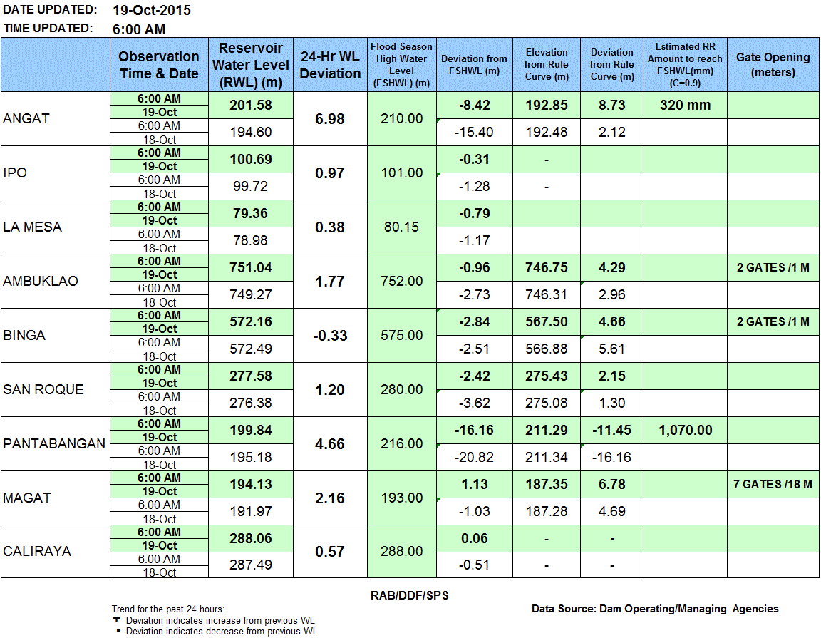
At 4 dams in Luzon the gates have been opened to release water. On the one side this actions prevents the dams from being damaged or spill uncontrolled. On the other side the additional waters enhance the floods in the lowlands. All dams except Magat and Caliraya are below the spilling margin, but Angat dam’s water level rises dramatically with 6.98 meters in the last 24 hours. The La Mesa dam is very near to the spilling limit. Only 0.79 meters or 2.6 feet left. Magat dam has all gates wide open.
PAGASA Storm Signals
Storm Signal #2: winds of 61 to 120 kph within 24 hours
Benguet, Cagayan including Calayan and Babuyan group of Islands, Ilocos Sur, Nueva Vizcaya, Pangasinan, La Union, Ilocos Norte, Ifugao, Mountain Province, Kalinga, Apayao, Abra
Storm Signal #1: winds of 30 to 60 kph within 36 hours
Zambales, Tarlac, Pampanga, Bulacan, Nueva Ecija, Quirino, Aurora, Isabela, Batanes, Metro Manila
KOPPU/Lando Storm data:
| Name (INTL. / local): | KOPPU/Lando |
| Class: | Typhoon Category 1 |
| Time/Date of observation: | 08:45 AM on October 19, 2015 |
| Location of Center: | 17.1° North 119.80° East |
| Moving Direction and Speed: | Nortwest @ 20 km/h |
| Moving towards: | Northern Luzon |
| Distance from the Philippines: | Over la Union |
| Estimated Date / Time of Landfall: | n/a |
| Max. Wind Speed near Center: | 112 km/h |
| Peak Wind Gusts: | 165 km/h |
| Minimum Central Pressure: | 975 hPa |
| Diameter: | 650 km |
| 24h Rainfall near Center: | 100 – 500 mm |
| Max. Wave Height: | n/a |
| Here you find how to read and understand this data | |
Nearly real-time storm information
Next update if significant changes.
Related posts
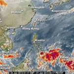
 September 24, 2013 Strong Habagat causes landslides in Zambales First Typhoon USAGI / Odette created a strong air suction and now two Low Pressure Areas (LPA) 93W and 92W amplify the southwest monsoon […]
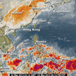
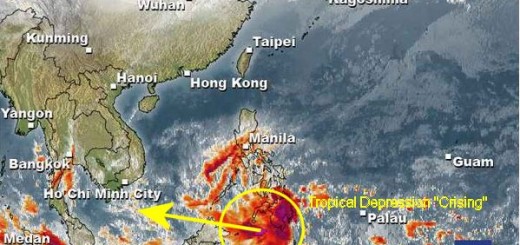
- February 19, 2013 Tropical Depression “CRISING” – Mindanao under Signal 1 The tropical depression south-east of Mindanao has intensified and accelerated. It was given the name "Crising". PAGASA put 18 provinces […]
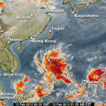
- January 2, 2013 The first clouds of the LPA have reached Mindanao The low pressure area (LPA) 92W is quickly moving towards Mindanao and the southern Visayas. The first batch of heavy rain clouds has […]
- March 4, 2012 PAGASA warns of Flash Floods and Landslides While 34°C weather will continue to prevail over Metro Manila, flash floods and landslides threaten parts of Eastern Visayas and Mindanao […]
- February 13, 2012 Low Pressure Area brings heavy rains, floods and landslides The Low Pressure Area LPA 92W brings heavy rains, floods and landslides all over the southern islands of the Visayas.
PAGASA informed […]


Recent Comments