Typhoon MAYSAK/Chedeng – now Category 1
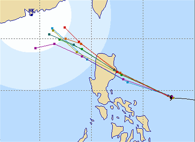
Typhoon MAYSAK/Chedeng again got weaker last night but got a bit better organized. This makes us think that the storm will reach the coast of Aurora/Isabela tomorrow morning still as a typhoon category 1.
Landfall is expected in the vicinity of Palanan Bay in Isabela province around 6 to 9 a.m. Sunday morning. The winds will be still strong enough to damage light constructions e.g. Nippa roofs and Amakan walls. The storm lost a lot of the water it carried in from the Pacific. Rains are expected to reach 30 to 200 mm in 24 hours.
Track Forecasts
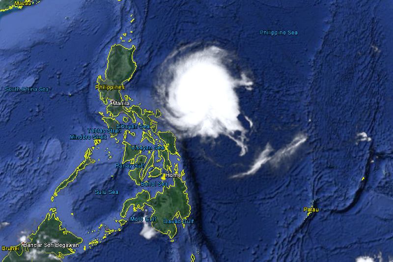
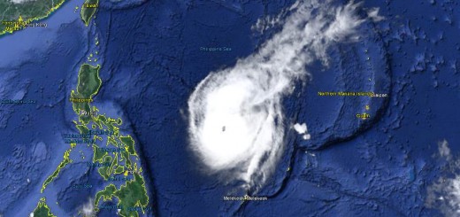
With a current diameter of 500 kilometers, Typhoon MAYSAK/Chedeng will cover almost all northern Luzon with rain-clouds. Strong, probably damaging winds are to be expected about 100 km around the center of the storm.
Fro this evening it will be interesting and useful to visit the Project NOAH website: http://noah.dost.gov.ph/ Especially the Doppler radars of Baler and Virac will allow to follow the storm. These Doppler radars will also help to determine the quantity of rainfall to expect.
Typhoon MAYSAK/Chedeng Storm data
| Name (INTL. / local): | MAYSAK /Chedeng |
| Class: | Typhoon Cat.1 |
| Time/Date of observation: | 06:00 a.m. on April 4, 2015 |
| Location of Center: | 14.7º North 126.6º East |
| Moving Direction and Speed: | West-Northwest @ 20 km/h |
| Moving towards: | Aurora-Isabela |
| Distance from the Philippines: | 575 km ESE of Casiguran, Aurora |
| Estimated Date / Time of Landfall: | Sunday morning in Isabela |
| Max. Wind Speed near Center: | 140 km/h |
| Peak Wind Gusts: | 175 km/h |
| Minimum Central Pressure: | 970 hPa |
| Diameter: | 500 km |
| 24h Rainfall near Center: | 50 – 200 mm |
| Max. Wave Height: | n/a |
| Here you find how to read and understand this data | |
Next update this evening.
Almost real-time storm information
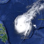
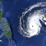
The animated pictures of this violent storm are fascinating
[GARD]
Related posts
 April 3, 2015 Typhoon MAYSAK/Chedeng – the last hours? Typhoon MAYSAK/Chedeng showed a really strange behavior today. It changed its cloud shape from the usual typhoon doughnut to a pear and […]
- April 3, 2015 Typhoon MAYSAK/Chedeng – weakening! Typhoon MAYSAK/Chedeng is progressively weakening. At this moment it has still category 2 strength. The storm is getting disorganized in […]
- April 2, 2015 Typhoon MAYSAK/Chedeng – appoaching Typhoon MAYSAK/Chedeng is still approaching. PAGASA and other government agencies start now to inform people. Don't mind this is the […]
- April 2, 2015 Typhoon MAYSAK/Chedeng now Cat.4 Typhoon MAYSAK/Chedeng continued to weaken while approaching the Philippines. Central pressure is now at 935 hPa. Forward speed slowed […]
- April 1, 2015 Typhoon MAYSAK/Chedeng – the Monster weakens Typhoon MAYSAK/Chedeng weakens. The monster storm lost a bit of its strength today but is still extremely strong. The central pressure […]


Recent Comments