East Mindanao Discovery Trip (5) – Floods in Davao
Actually we had thought to spend the night at Pulangi lake. This reservoir supplies water for about a quarter of the electricity production of Mindanao. The reservoir serves also as a drinking water and irrigation storage. We had imagined to stay in RR Family Resort on the lake. But as we drove on the access road, massive bass sounds thundered from a karaoke machine. We decided to continue towards Davao.
26 km after Valencia we left the Sayre Highway, which continues to Kabacan, North Cotabato, and followed the new Davao-Bukidnon Highway. The whole Highway to Davao was in very good condition with the exception of isolated maintenance sites. From the junction, we had almost no traffic until the suburbs of Davao City. Maybe we crossed every 10 minutes another vehicle. It was a real pleasure and we enjoyed relaxed driving on this highway.
After the Quezon area became more hilly and the map showed and that quite a winding road laid ahead of us.
Over the hills and mountains already piled huge cumulus clouds and in the southwest a thunderstorm loomed. But we drove to the southeast. There might be some chance to escape…
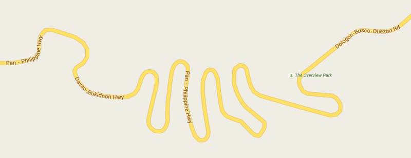
Then looked at the map of the path like this:
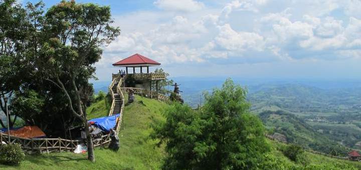
Even from a distance we saw that we could expect something up there. On one of the hills we saw a temple-like building. Once on the top it turned out to be the Overview Nature and Culture Park.
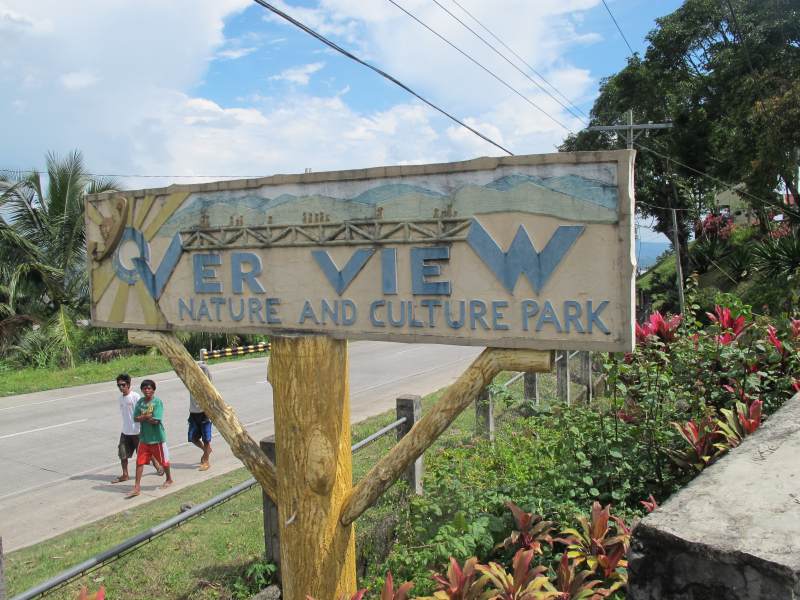
This park is absolutely worth seeing. It is divided into two parts left and right side of the highway. During our visit he was very well guarded by the army. I have counted some 40 soldiers. This time we ony visited the lower part on the left – the eastern part. On our next visit we will also have a look from the western part.


Because of our very fast lunch in Valencia – true fast food – it was only 2 p.m. up here. The view over the center of Mindanao is really incredible.
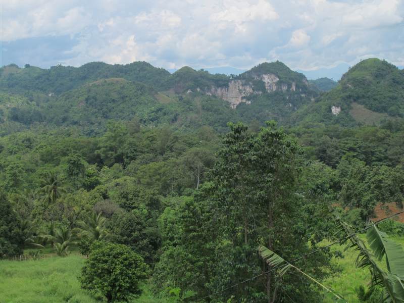
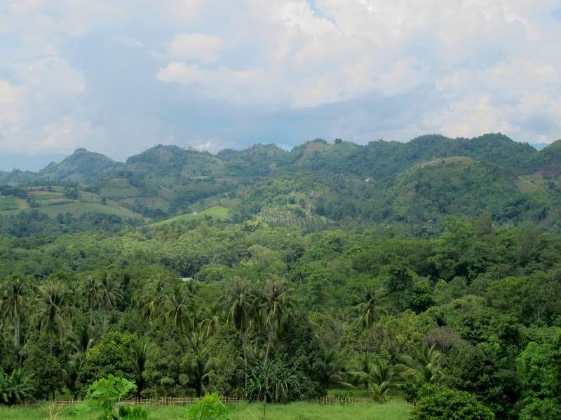
I am about to patch together a panorama. Since I unfortunately photographed without a tripod, the pictures still need quite a bit of customization work. Therefore, for the time being only two images.
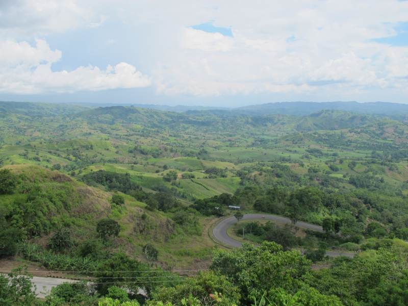
Looking north. At the lower edge one sees the excellent road.
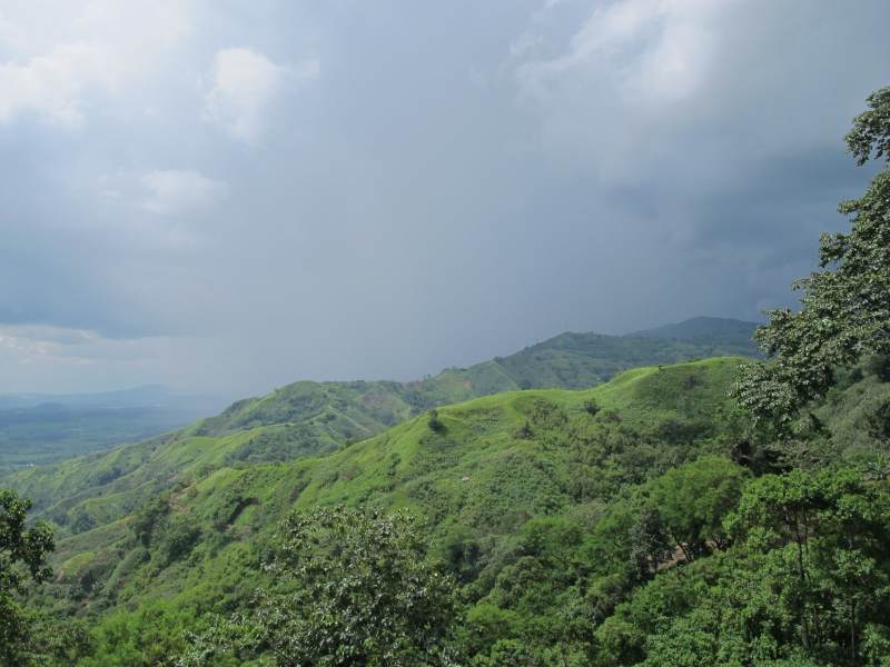
From the southwest, the storm front came closer and closer.
This storm then caught us promptly after about 20km. Anyone who has ever experienced such a really heavy storm here in the tropics knows what has happened to us. Luckily the road was in very good condition, otherwise we would have had to stop and wait.
Some Pinoys had no sense of appropriate speed and so we saw a pickup truck in a curve lying on its back . The driver had fortunately already helpers to put the vehicle back on its wheels.
Another car really stuck vertically in the ditch. Also there they already had gotten help because I found fresh wheel and bloodstains, which were being washed away by the heavy rain.
After about 45 minutes the rain subsided and then stopped completely. Close to Mount Sinaka we reached the border to the province Davao City.
The weather was not very friendly, so we drove directly to Davao City. During our stop at the Overview Park we had decided to stay at the Waterfront Hotel in Davao. We always appreciate the quality of the Waterfront hotels in Cebu City and Mactan Airport. In addition, the price / performance ratio is right.
The hotel is located at the east end of the big city. But we came here from the north-west. So I had the dubious pleasure to dig myself through the urban traffic. Our navigation tablet provided us with excellent guiding service. This was absolutely necessary because barely within the city a second storm front caught us – only much stronger this time.

Extremely humid
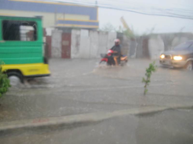
And it got worse. The water was partially 30-40cm high in the streets. Many vehicles remained with flooded engine in the middle of the road. The chaos was perfect.

On R. Castillo Street we had even to u-turn, because the water came up to us in waves. There was real doom and gloom. But our free navigation app also helped us in this situation. We drove first to the northern and a bit higher laying quarters and followed small and smaller streets. The water flooded the houses and huts.
The reception at the Waterfront Insular Hotel was excellent. The staff was very professional, pleasant and friendly. The service was excellent.

If the navigator is a Pinay, then must not be missing, such a photo.
Unfortunately, the dinner at the Waterfront in Davao was the worst thing we ever have eaten in a Waterfront Hotel. While the prices of food were acceptable, the wine prices were astronomical. We stayed with San Miguel beer and pizza. The pizza was insult of Italy’s wonderful gastronomy.
Summary of Day 3 – Part 2:
Landscape: From Quezon to 20km hilly to mountainous, breathtaking
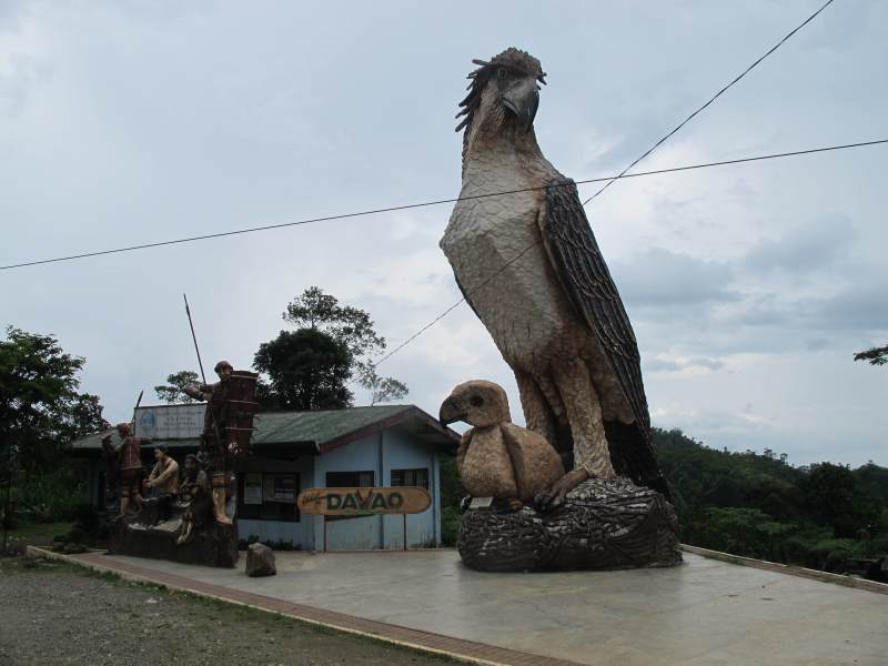
Interesting: landscape in general, Overview Nature and Culture Park, Philippine Eagle Centre *, Malagos Garden Resort *
Street: Very good condition, a few short construction sites, very low traffic
Distance: 178km
Driving time: 3 – 4 hours (rain permitting)
(*) Both are in Davao on the Davao-Bukidnon Highway. Because of bad weather we had to push the visit to the next day.
Tomorrow we stay in Davao
Related posts
 August 28, 2015 East Mindanao Discovery Trip (6) – Davao to Mati Today a long road laid before us. 185 km to Mati and then a 25 km exploring ride on the resort peninsula. During today's journey we found […]
- August 27, 2015 East Mindanao Discovery Trip (5) – Davao Today weather had been sunny again. The air was extremely humid. Davao is the second largest city of the Philippines after Metro Manila. […]
- August 26, 2015 East Mindanao Discovery Trip (4) – Coffee Today we got up early. The first goal was at very short distance, only 7.5km from the hotel. We wanted to visit the "Monastery of the […]
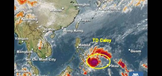
- March 21, 2014 Tropical Depression “Caloy” near Mindanao As the Tropical Depressin (ex. LPA 94W) entered PAR (Philippines Area of Responsibility), PAGASA assigned the name CALOY.
Tropical […]
- January 22, 2014 Weather is slowly getting better The "INQUIRER" published an interesting overview of the Tropical Depression LINGLING/Agaton.
Here is an excerpt, a link to the full […]


Recent Comments