East Mindanao Discovery Trip (6) – Davao to Mati
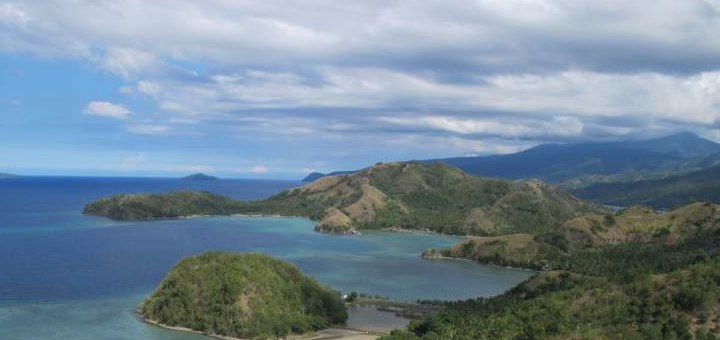
Today a long road laid before us. 185 km to Mati and then a 25 km exploring ride on the resort peninsula. During today’s journey we found several places where we could have stopped for a night or so, but our goal was Mati.

The first 12 kilometers we drove along Davao’s port. Left and right container Mountains piled on. Traffic was strong and many slow semitrailer needed often 2 or more tracks of the 4 – 6 lane highway.
The road continues past by the Holcim cement factory and a giant Holcim quarry.

This image is not from me. Source: https://jennygallegos.blogspot.com
After that very busy stretch, the road became more quiet and was in a very good state. The highway to Tagum City is in excellent condition. We have seen tricycles on this route, which thundered with 100 km/h on the highway. Shortly before Tagum City we turned right on the Surigao – Davao Coastal Road.
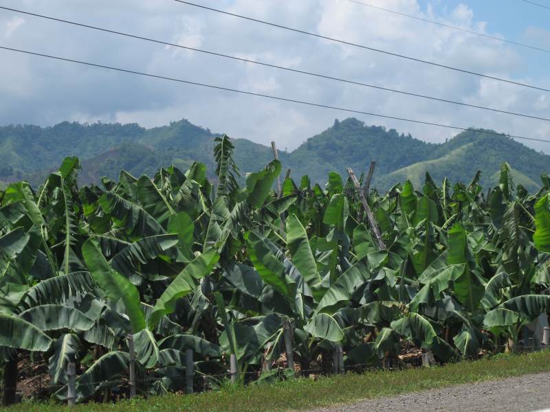
Until after Pantukan this road is mostly straight and one is progressing very fast. Left and right of the road stretch from huge banana plantations.

On the sea side you can see the internal transport cableway for the fruits.
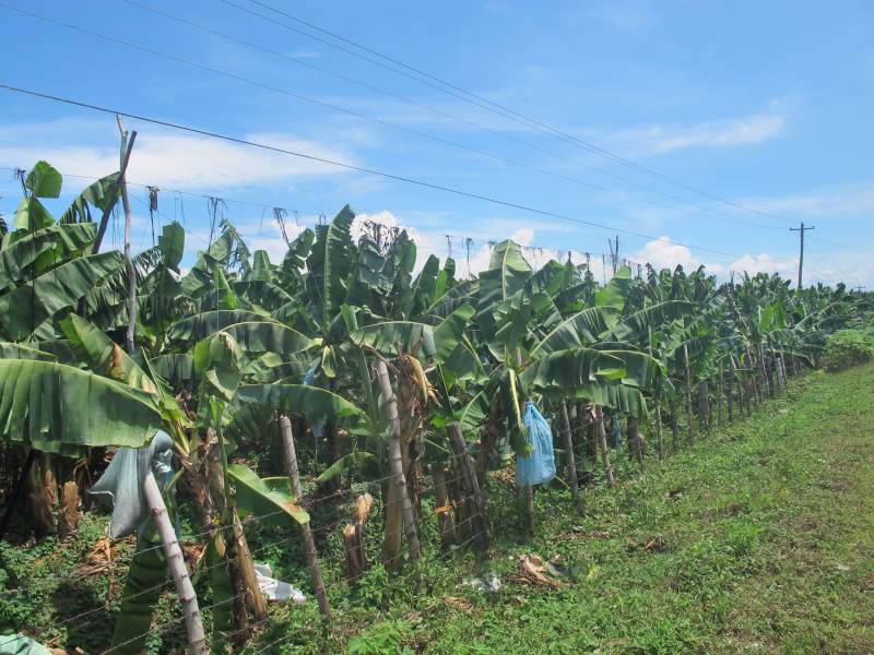
On the sea side you can see the internal transport cableway for the fruits.
On the landward side pile up on the hills in the morning, the cumulus clouds up.
Along this sandy coast there are also many beaches and resorts. The high season is in December and January. This is why the beaches were empty and many resorts were closed in July.
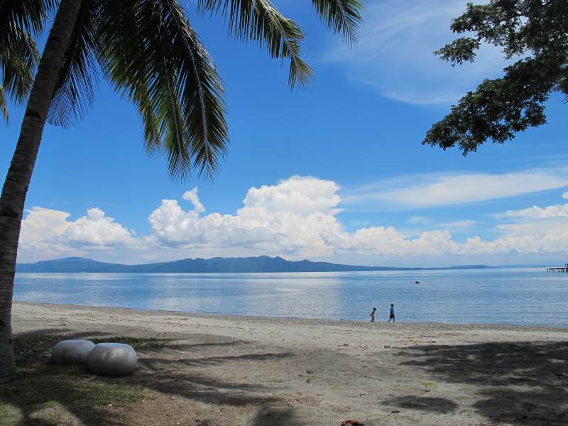
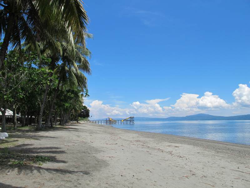
The beach is all flat. I also had my nose was still air when walking 300 meters out in the sea. We decided to enjoy our lunch in one of the few open resorts.
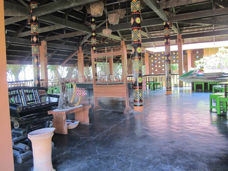
The Magnaga Waters Beach Resort left a clean and well-kept impression. During our visit it was, however, a “One Woman Show”. Our fairy took care of reception, bar, kitchen, service and our entertainment. Unfortunately, the resort has just a Facebook page.
The food was good and the beer delightfully cool. The resort would have been good as a stopover, but we had Mati in our heads. So we will stay there next time. Here are some impressions:
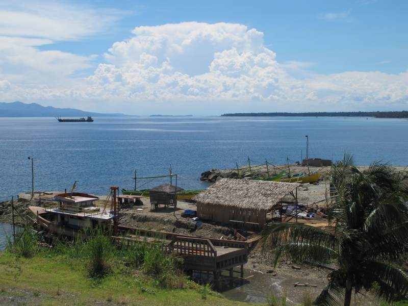
The island in the background is the rear side of Samal, which is located in the Bay of Davao.
After lunch and a recovering siesta we continued southward. The road was in really good state. Our next stop was at Piso Point, about 30 km south of Mabini. Here are some impressions:
Left the Governor Generoso peninsula and right the island of Samal
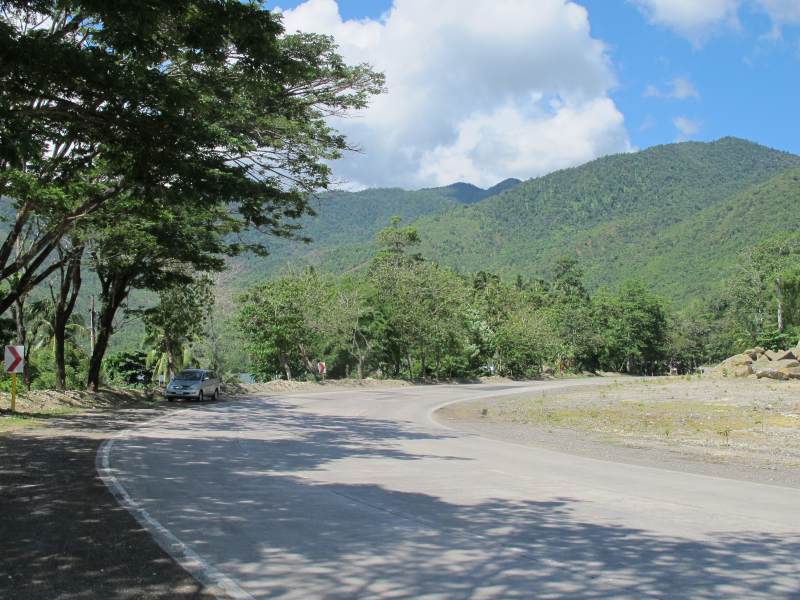
Above image to show the good condition of the road.
In this area we saw the first small mosques and some women with fairly loose headscarf. From burka and chador there was no trace. And of course, the INC had * placed their pseudo-gothic churches also here in every village. (* = INC Iglesia ni Cristo). From here to the crossing of Governor Generoso peninsula, we drove again 22 km.
The area in Badas at Balete Bay was very nice. The very winding road was excellent with only a short construction site. No traffic – perhaps a vehicle every 10 minutes.
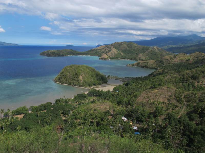
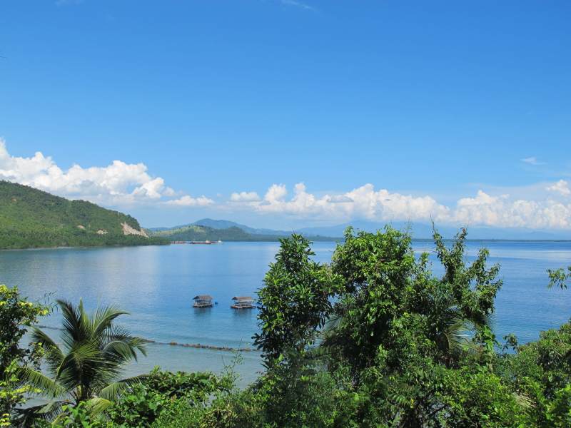
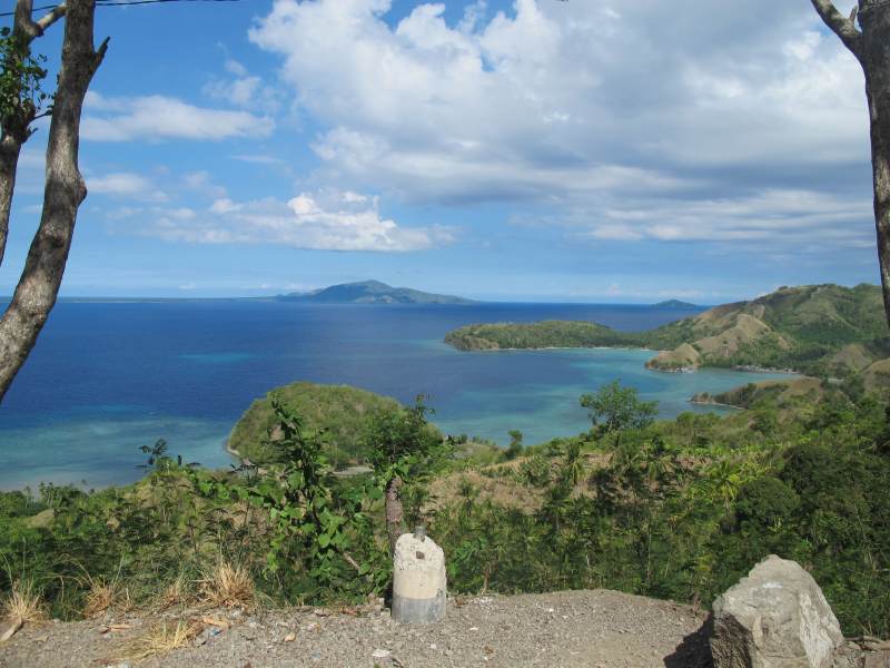
The famous Sleeping Dinosaur. We did discover the name of this peninsula after having returned from our journey.
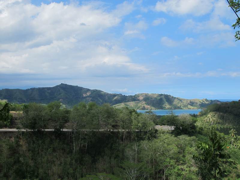
On the horizon one can already see our destination – Mati
Since I arrived already at 20 images, I separate the 5th day also in two parts. About Mati I will therefore report tomorrow.
Summary of the 5th day – Part 1:
Landscape: Initially flat, then steep coast between Pantukan and Banaybanay, then flat again until the crossing of Governor Generoso peninsula. Then cliffs with bays and islands to Mati
Interesting: Varied landscape, banana plantations
Street: Very good condition; few, short construction sites. At the beginning heavy city traffic, then almost no traffic
Distance: 185 km to Mati
Driving time: 3 – 4 hours
Interesting: Varied landscape, banana plantations
Street: Very good condition; few, short construction sites. At the beginning heavy city traffic, then almost no traffic
Distance: 185 km to Mati
Driving time: 3 – 4 hours
Tomorrow we visit Mati and the peninsula.
[GARD]








Recent Comments