Typhoon MAYSAK now Category 2
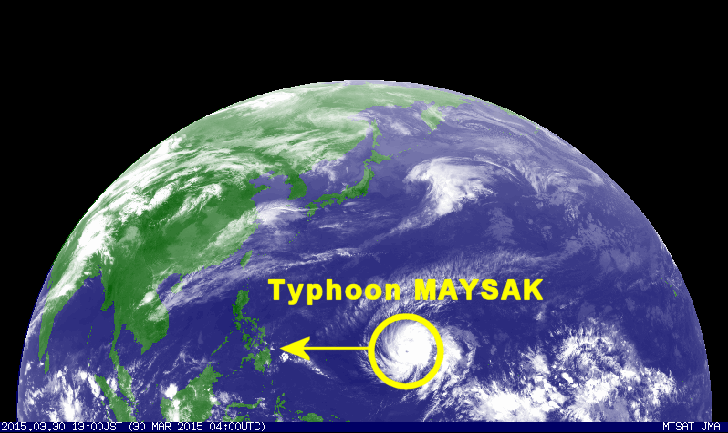
Typhoon MAYSAK got stronger and is now a Typhoon Category 2. The cyclone is continuing its westward track towards the Philippines at a forward speed of 27 km/h.
First of all we’d like to apologize for the late information. Yesterday we had no power from 8 a.m. to 8 p.m. and this morning power had been cut from 9 to 12.
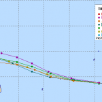
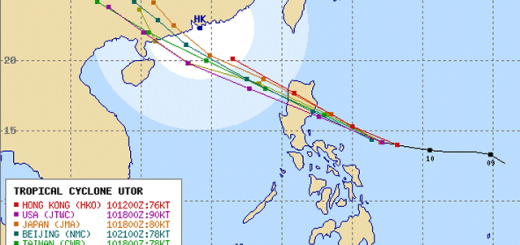
Typhoon MAYSAK – Multi Agency Forecast
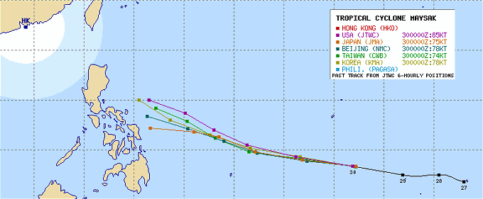
Japan’s JMA predicts the southernmost track heading towards Samar. The American JTWC sees the typhoon go much northern heading towards Aurora (Luzon). This remembers a bit the forecast discrepancy Typhoon HAGUPIT/Ruby last December. You might remember the strange behavior of this typhoon decreasing within a few hours from a Super Typhoon to a Tropical Storm.
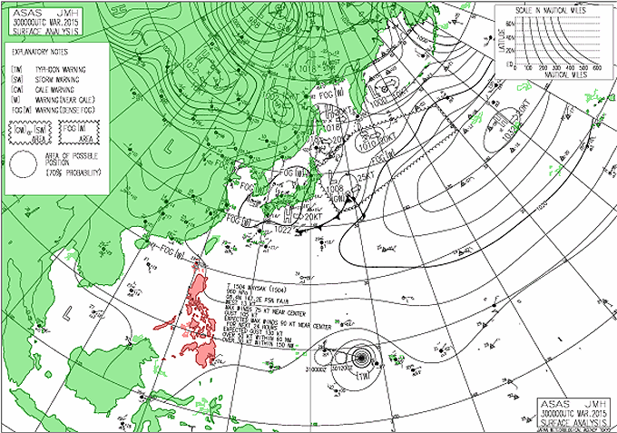
Low or High over China
Again the pressure distribution over continental China will either pull Typhoon MAYSAK northwards, when there is a low pressure over China or push it south when there is a high pressure area.
Currently high and low pressure areas are following in a fast rhythm.
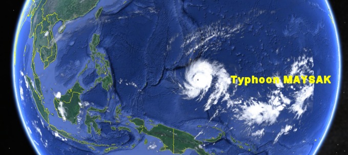
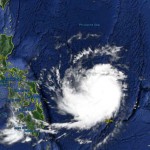
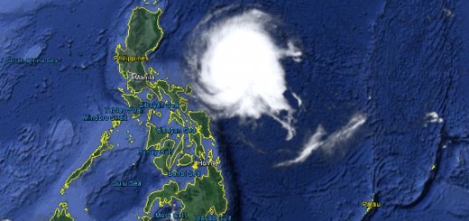
The last satellite photo shows the typhoon having developed a clear eye:
Typhoon MAYSAK Storm data
| Name (INTL. / local): | MAYSAK / — |
| Class: | Typhoon Cat.2 |
| Time/Date of observation: | 11:00 a.m. on March 30, 2015 |
| Location of Center: | 8.7º North 146.5º East |
| Moving Direction and Speed: | West @ 27 km/h |
| Moving towards: | Philippines |
| Distance from the Philippines: | 2,190 km E of Bislig, Mindanao |
| Estimated Date / Time of Landfall: | Friday night or Saturday |
| Max. Wind Speed near Center: | 148 km/h |
| Peak Wind Gusts: | 212 km/h |
| Minimum Central Pressure: | 955 hPa |
| Diameter: | 687 km |
| 24h Rainfall near Center: | n/a |
| Max. Wave Height: | n/a |
| Here you find how to read and understand this data | |
Next update this evening
Almost real-time storm information
[GARD]




Recent Comments