Typhoon UTOR / Labuyo is now Category 2
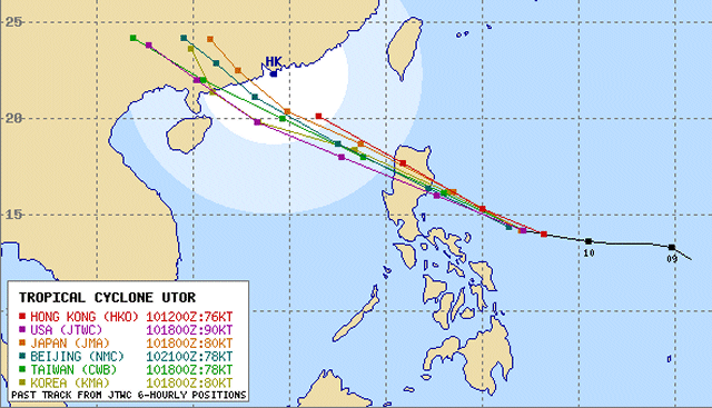
Typhoon UTOR / Labuyo has intensified all during the night and is now a Typhoon Category 2. It is still running west-northwest at a high speed of 28 km/h. The outer rainbands have started affecting Bicol Region, Northern Samar and the eastern coast of Luzon.


Storm data:
| Name (INTL. / local): | UTOR / Labuyo |
| Class: | Typhoon Category 2 |
| Time/Date of observation: | 06:00 PM on August 11, 2012 |
| Location of Center: | 14.5º North 126.3º East |
| Moving Direction and Speed: | West @ 28 km/h (fast!) |
| Moving towards: | Aurora-Quirino Area |
| Distance from the Philippines: | 250 km from Virac, Catanduanes |
| Estimated Date / Time of Landfall: | Monday morning 03:00 – 06:00 a.m. in Aurora-Quirino Area |
| Max. Wind Speed near Center: | 165 km/h |
| Peak Wind Gusts: | 205 km/h |
| Minimum Central Pressure: | 956 hPa |
| Diameter: | 555 km |
| 24h Rainfall near Center: | 350 mm |
| Max. Wave Height: | 9 m |
Here you find how to read and understand this data  |
|
Next update around 07:00 PM this evening.
Related posts
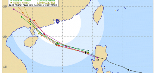
 August 12, 2013 Typhoon UTOR / Labuyo out over the sea again After having rapidly crossed Northern Luzon Typhoon UTOR / Labuyo is out over the sea since noon. The rainbands are still affecting La […]
- May 7, 2015 Typhoon NOUL/Dodong short update Typhoon NOUL/Dodong is developing now quiet fast. It is already a Cat.2 Typhoon at a central pressure of 956 hPa. Its forward speed has […]
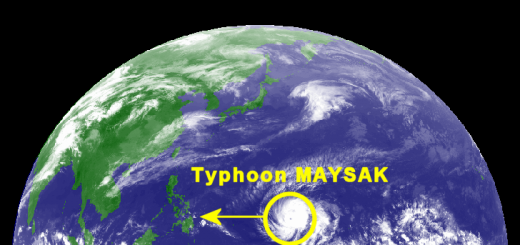
- March 30, 2015 Typhoon MAYSAK – short update Typhoon MAYSAK is continuing on its westward track at 20 km/h. The current position is 8.8° North and 145.2° East. The cyclone has […]
- March 30, 2015 Typhoon MAYSAK now Category 2 Typhoon MAYSAK got stronger and is now a Typhoon Category 2. The cyclone is continuing its westward track towards the Philippines at a […]
- December 3, 2014 Typhoon HAGUPIT/Ruby – update 12/03-2 Typhoon HAGUPIT/Ruby forecast tracks are again heading more south. All agencies except US NAVY (JTWC) follow the JMA forecast. You may […]


Recent Comments