Typhoon Phanfone enhances Habagat
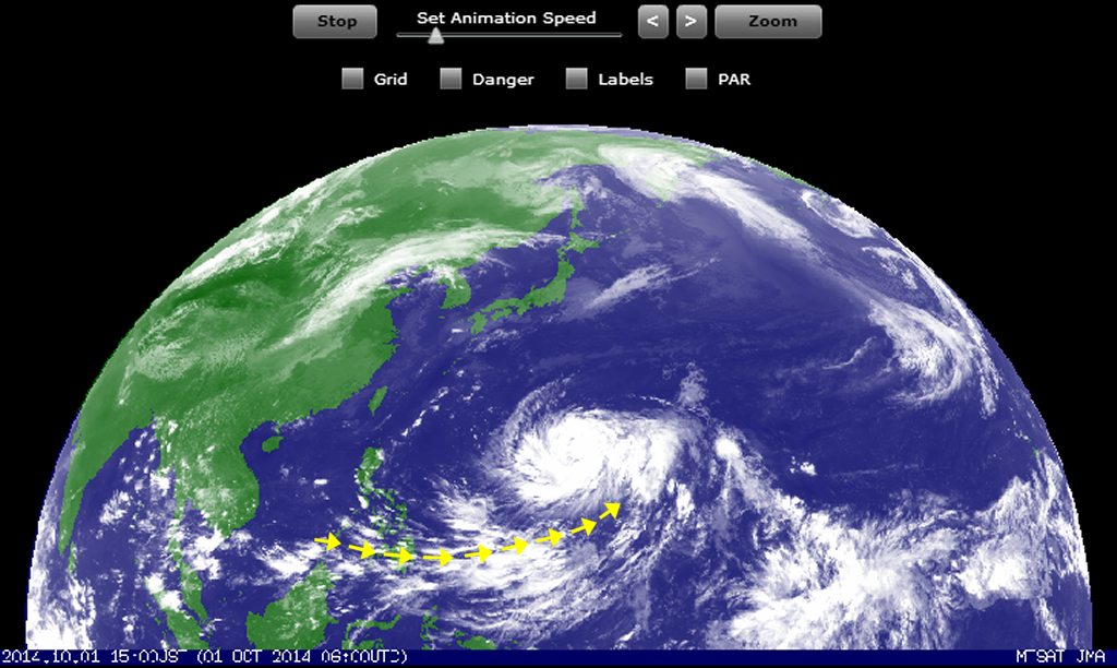
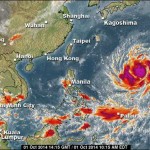
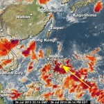
Typhoon Phanfone is developing and still moves west-northwest at 24 km/h. This typhoon may enter PAR (Philippine Area of Responsibilty) at its north-eastern corner. The typhoon will not hit the Philippine islands.
The animated satellite images clearly show the development of Typhoon Phanfone. They also show the suction and amplification of the south-west monsoon (Habagat).
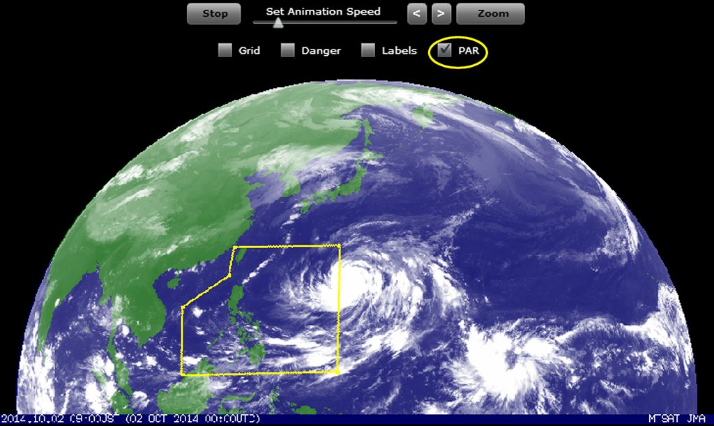
The Philippine Area of Responsibilty (PAR)
The amplified Habagat monsoon trough
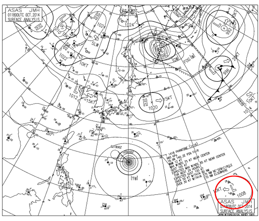
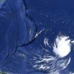
While Typhoon Phanfone is already too much north to affect the Philippine islands, another low pressure system is developing much more south. The isobars map of JMA shows its origins at 5° North and 165° East (lower right corner).
[GARD]
Related posts
 December 23, 2019 Good News – Tropical Storm PHANFONE/Ursula gets weaker
Tropical Storm PHANFONE/Ursula had been menacing the Philippines now for several days. The good news are that this storm is getting […]
December 23, 2019 Good News – Tropical Storm PHANFONE/Ursula gets weaker
Tropical Storm PHANFONE/Ursula had been menacing the Philippines now for several days. The good news are that this storm is getting […]- March 13, 2015 Tropical Storm BAVI moving west Tropical Storm BAVI is moving west to northwest at 30 km/h. This storm does not yet affect the Philippines as it is some 3,700 kilometers […]
- October 2, 2014 Typhoon Phanfone now Category 4 Typhoon Phanfone: Short weather update
Typhoon Phanfone is now of Category 4. It is still moving northwest but will not touch the […]
- July 27, 2013 Developing Low Pressure Area in South-East A low pressure area (LPA) near Davao City in the south-east of the Philippines may intensify into a cyclone in the next 24 hours. Heavy […]
- July 7, 2013 Weather – we publish Being frustrated about weather forecast and weather data is one thing. Doing it better is the other solution.
What we can give you by […]


Recent Comments