Super Typhoon MAYSAK – a violent guy
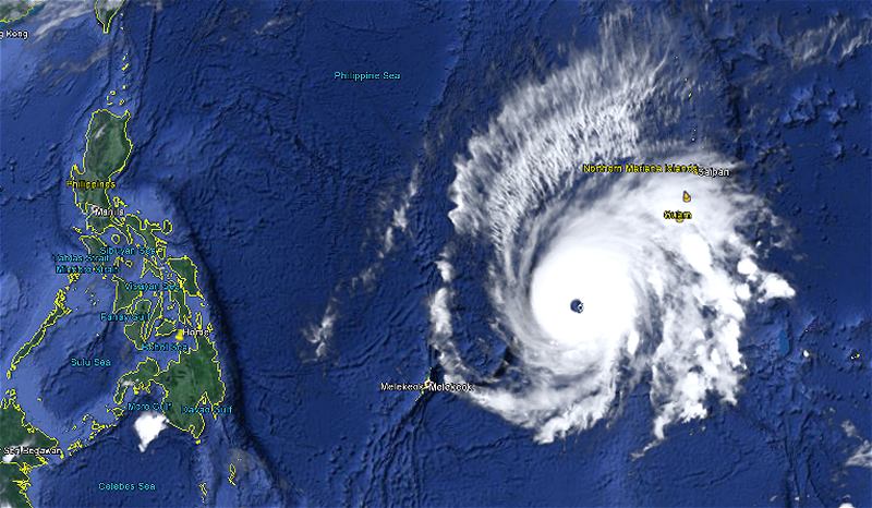
Super Typhoon MAYSAK is just now developing its peak strength. The Saffir-Simpson scale attributes Category 5, Super Typhoon. JMA in Japan assigns “Ferocious” or 猛烈な. Wind speed is now up to 280+ km/h.
This typhoon is an extremely strong one. Its eye is clearly visible on all satellite images. This violent state will persist for at least 24 hours. Central pressure is now down at 915 hPa. This is a very low pressure. The cyclone will continue to move on a generally west-northwest track and is expected to hit the Philippines late Saturday or early Sunday.
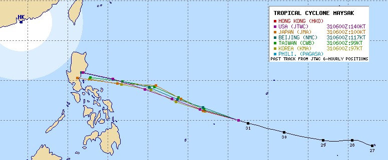
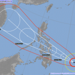
The forecast tracks
The forecast tracks are narrowing. Bicol will be out of direct danger, but will receive heavy rainfalls. The direct hit zone is now Aurora in northern Luzon. Also Manila will get heavy rains. This will amplify the water problems in the capital after the big water supply blast today.
As the size of Super Typhoon MAYSAK has increased to 960 km, we recommend people from the Visayas up to northern Luzon to have a close eye on the development of this violent storm.
Super Typhoon MAYSAK Storm data
| Name (INTL. / local): | MAYSAK / — |
| Class: | Super Typhoon Cat.5 |
| Time/Date of observation: | 06:00 p.m. on March 31, 2015 |
| Location of Center: | 10.1º North 140.5º East |
| Moving Direction and Speed: | West-Northwest @ 25 km/h |
| Moving towards: | Northern Philippines |
| Distance from the Philippines: | 1,590 km E of Surigao, Mindanao |
| Estimated Date / Time of Landfall: | Saturday or Sunday |
| Max. Wind Speed near Center: | 240 km/h |
| Peak Wind Gusts: | 295 km/h |
| Minimum Central Pressure: | 915 hPa |
| Diameter: | 960 km |
| 24h Rainfall near Center: | 100 – 300 mm |
| Max. Wave Height: | n/a |
| Here you find how to read and understand this data | |
Next update tomorrow morning
Almost real-time storm information
The animated pictures of this violent storm are fascinating
[GARD]





Recent Comments