Super Typhoon USAGI / Odette is now Category 5
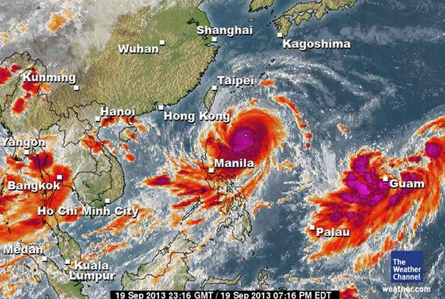
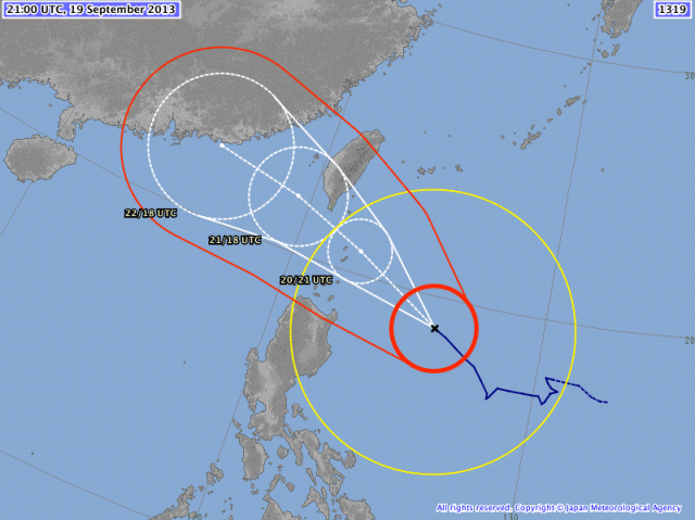
At 4:00 a.m. today, the eye of Super Typhoon USAGI / Odette was located at 410 km East of Aparri, Cagayan (18.9°N, 126.0°E). Maximum sustained winds are 220 km/h near the center and gustiness is up to 270 km/h.
Typhoon USAGI / Odette is now a Super Typhoon Category 5 !
Super Typhoon USAGI / Odette is heavily amplifying the Southwest Monsoon (Hanging Habagat).
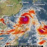
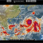
Super Typhoon USAGI / Odette’s enhancement of the south-west monsoon is clearly visible on this IR image. The cloud forms over the Visayas and southern Luzon depict the strong air movements toward the cyclones ceneter.
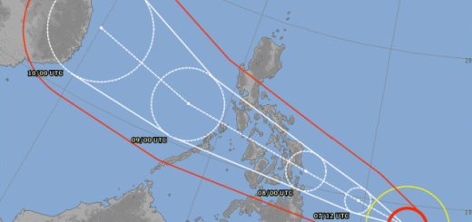
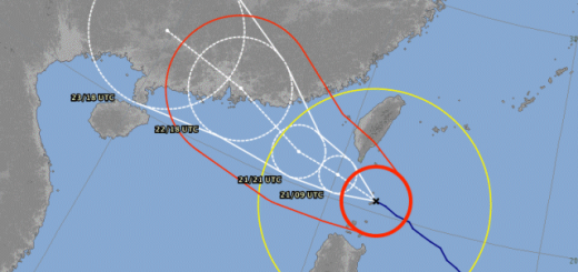
The forecast track of Super Typhoon USAGI / Odette has slightly moved northwards. Strong winds are to be expected in extreme northern Luzon.
PAGASA has declared Storm Signal #3 in:
- Batanes Group of Islands
PAGASA Storm Signal #2 in:
- Apayao
- Isabela
- Cagayan including Calayan
- Babuyan Group of Islands.
PAGASA Storm Signal #1 in:
- IIocos Norte
- Ilocos Sur
- Mountain Province
- Ifugao
- Abra
- Kalinga
- Isabela
3 dams have spill gates open: Ambuklao, Binga, Magat.
All dams have more than 1 meter overflow margin.
Storm data:
| Name (INTL. / local): | USAGI / Odette |
| Class: | Super Typhoon Category 5 |
| Time/Date of observation: | 04:00 AM on September 20, 2013 |
| Location of Center: | 18.9º North 126.0º East |
| Moving Direction and Speed: | WNW at 19 km/h |
| Moving towards: | Batanes Islands / Taiwan |
| Distance from the Philippines: | 410 km ENE of Apari, Cagayan |
| Estimated Date / Time of Landfall: | Batanes Islands Saturday morning |
| Max. Wind Speed near Center: | 260 km/h |
| Peak Wind Gusts: | 315 km/h |
| Minimum Central Pressure: | 910 hPa down from 925 hPa |
| Diameter: | 1010 km (very large) |
| 24h Rainfall near Center: | 500 mm |
| Max. Wave Height: | 14 m |
Here you find how to read and understand this data  |
|
We keep an eye on this storm. For more and real-time information see here:
Old Weather Page 
New Weather Page 



Recent Comments