Tropical Storm FITOW / Quedan passes east of the Philippines

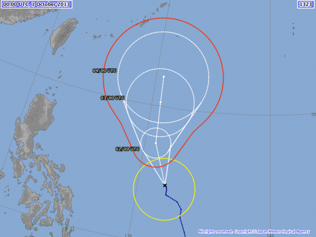
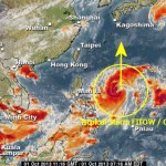
The Tropical Depression east of Samar has been upgraded to Tropical Storm FITOW / Quedan. This storm is moving north at a distance of 800 km from the Philippine islands. This morning at 4 a.m. it was estimated to be 790 km East of Virac, Catanduanes (14.2°N,132.3°E).
The storm is moving north at a forward speed of 7 km/h. Near the center wind speed is up to 65 km/h and gusts are up to 80 km/h.
The usually excellent forecasts of JMA show a track well off the Philippines and even the 30 km/h wind speed circle (yellow) remains away from our islands.
But Tropical Storm FITOW / Quedan will get stronger in the following hours and days with a central pressure of about 960 hPa (this means typhoon strength). This low atmospheric pressure will enhance the western monsoon (Habagat) and bring stiff winds and light to moderate rainfalls.
These conditions are now affecting northern Mindanao and the Visayas. In the next days these weather conditions will move more and more north and affect Luzon.
We keep an eye on Tropical Storm FITOW / Quedan. For more and near real-time information see here:
Old Weather Page 
New Weather Page 
New Marine Weather Page 








Recent Comments