Tropical Storm BAVI plays tricks
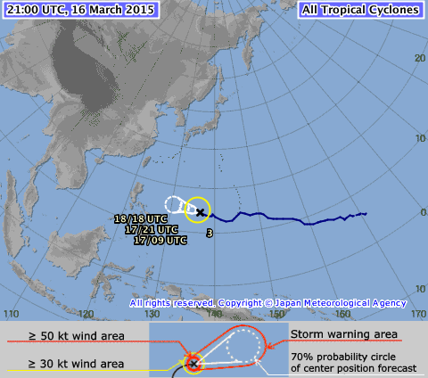
Tropical Storm BAVI plays tricks with observers and forecasters. The storm slowed down its forward speed to 25 km/h. The track direction varies between west and northwest.
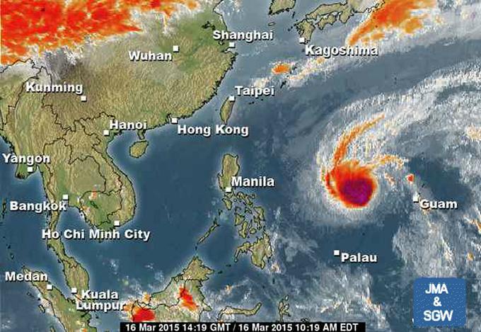
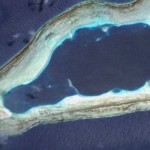
Yesterday afternoon Tropical Storm BAVI looked like a menacing compact bowl east of northern Luzon.
This morning the bowl had almost vanished and the center of the storm was barely distinguishable.
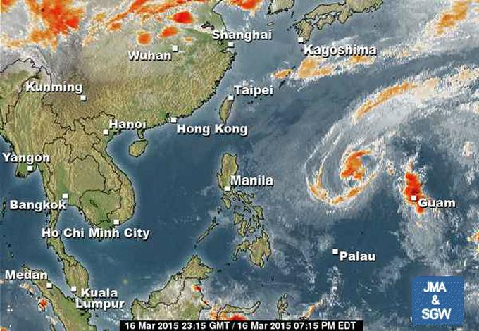
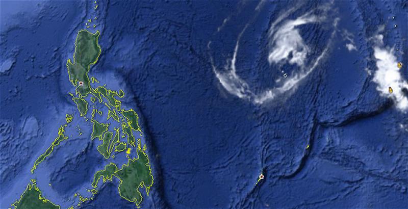
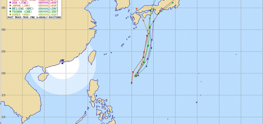
The past track of the storm shows its vulnerability to influences from other pressure systems over China and Japan. South of Asian main continent lows and highs are chasing. Tropical Storm BAVI is being moved north and south like a badminton shuttlecock.
WARNING: Missing infrared visibility of clouds doesn’t mean that the storm has vanished. It is still there and wind speeds of 75 km/h can still be dangerous.
Storm data:
| Name (INTL. / local): | BAVI |
| Class: | Tropical Storm |
| Time/Date of observation: | 5:00 a.m. on March 17, 2015 |
| Location of Center: | 14.0º North 139.1º East |
| Moving Direction and Speed: | West @ 25 km/h |
| Moving towards: | Northern Philippines |
| Distance from the Philippines: | 1,745 km of Daet |
| Estimated Date / Time of Landfall: | n/a |
| Max. Wind Speed near Center: | 75 km/h |
| Peak Wind Gusts: | 95 km/h |
| Minimum Central Pressure: | 996 hPa |
| Diameter: | 510 km |
| 24h Rainfall near Center: | 50 to 220 mm |
| Max. Wave Height: | n/a |
| Here you find how to read and understand this data | |
We keep an eye on this storm. Next update as soon as we get new data.
[GARD]
Related posts
 November 18, 2015 Tropical Storm IN-FA moving west Tropical Storm IN-FA is moving west. This storm is still far away from the Philippines but has the potential to amplify to a Typhoon Cat. […]
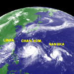
- July 8, 2015 CHAN-HOM and NANGKA – Habagat Amplifiers Last weekend, Tropical Storm LINFA/Egay brought a lot of rain over northern Luzon. Now it is enhancing the southwest monsoon (Habagat) […]
- May 10, 2015 Tropical Storm DOLPHIN – The next bad guy? You may remember our storm report from May 8. We then reported a strange guy developing around Palikir, Micronesia. This strange guy now […]
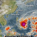
- January 18, 2015 Tropical Storm MEKKHALA/Amang now over Naga City Tropical Storm MEKKHALA/Amang now over Naga City. After having made landfall on Samar's east coast the storm lost some power. It still […]
- January 16, 2015 The Pope will get wet – Tropical Storm Alert The Pope will get wet when he'll travel to Tacloban tomorrow. Tropical Storm MEKKHALA / Amang is just a step out of Samar. Even if the […]


Recent Comments