Tropical Storm “Peipah” (05W)
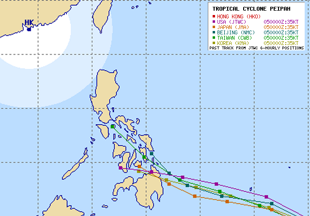
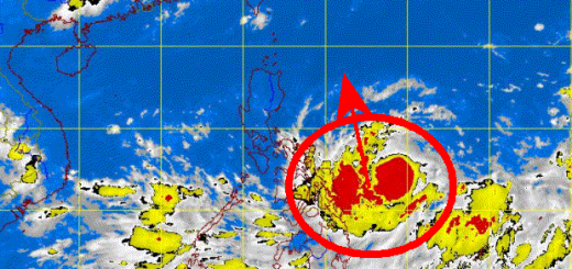
Tropical Storm 05W is intensifying and got now the international name “Peipah”. If you check the multi-agency forecast below, you see that 3 out of 5 weather agencies predict the storm to run over Camiguin. The track may still change!
We switch now to our standard storm reports.
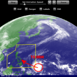
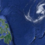
This Tropical Storm is now really menacing the southern Philippines. It will hit northern Mindanao on Wednesday 2014-04-09.
Silent Gardens strongly recommends people in northern Mindanao, Camiguin, Bohol, Western Negros and Western Cebu to be prepared for a strong storm.
PAGASA, as usual, waits with their warnings. Their warning might again be too late. The track forecast remembers Typhoon BOPHA/Pablo in December 2012.
Storm data:
| Name (INTL. / local): | PEIPAH |
| Class: | Tropical Storm |
| Time/Date of observation: | 02:50 PM (PST) on April 05, 2014 |
| Location of Center: | 4.5º North 139.6º East |
| Moving Direction and Speed: | WNW @ 20 km/h = 12 mph |
| Moving towards: | Palau |
| Distance from the Philippines: | 1,600 km from Mindanao |
| Estimated Date / Time of Landfall: | morning of April 9, 2014 |
| Max. Wind Speed near Center: | 65 km/h = 35 kt |
| Peak Wind Gusts: | 85 km/h = 50 kt |
| Minimum Central Pressure: | 998 hPa |
| Diameter: | 390 km = 210 NM |
| 24h Rainfall near Center: | n/a |
| Max. Wave Height: | 6 m = 19 ft |
| Here you find how to read and understand this data | |
The 24 hours animated satellite loops are here.
[GARD]



Recent Comments