Typhoon HAGUPIT/Ruby – again Samar?
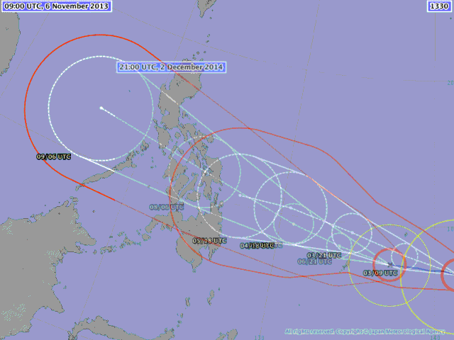
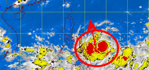
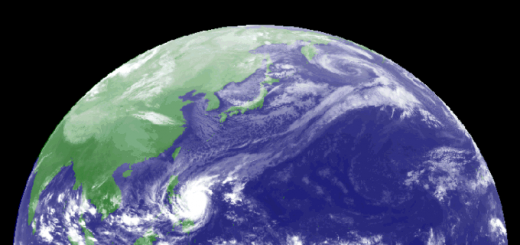
Typhoon HAGUPIT/Ruby has been upgraded to a Typhoon Category 2. It heads now rather towards Samar and maintains its western movement. There is a high risk that HAGUPIT/Ruby follows a similar track as HAIYAN/Yolanda a year ago.
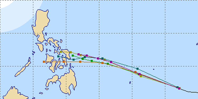
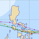
All weather agencies have corrected their track forecast predict landfall either in northern Leyte or southern Samar. Multi Agency forecast by Michael Padua.
Typhoon HAGUPIT/Ruby is expected to continue moving in a straight west-northwest track during the next 2 days. The typhoon will enter the Philippine Area of Responsibility (PAR) by Thursday morning. By early Friday morning, the typhoon shall be traversing the southeastern part of the Philippine Sea.
Typhoon HAGUPIT/Ruby is expected to continue gaining strength throughout the forecast outlook as it moves over the warmer sea surface temperatures (SSTs) of the Philippine Sea. Intensity Forecast shows its 10-minute maximum sustained winds increasing rapidly to 215 km/h (at near-Super Typhoon strength) by early Friday morning.
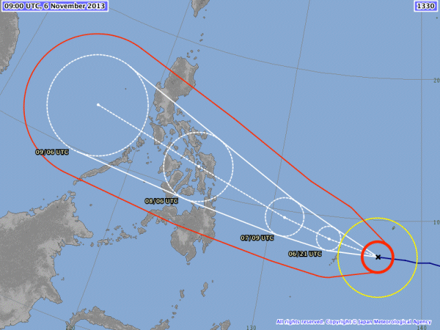
Yolanda vs. Ruby
 |
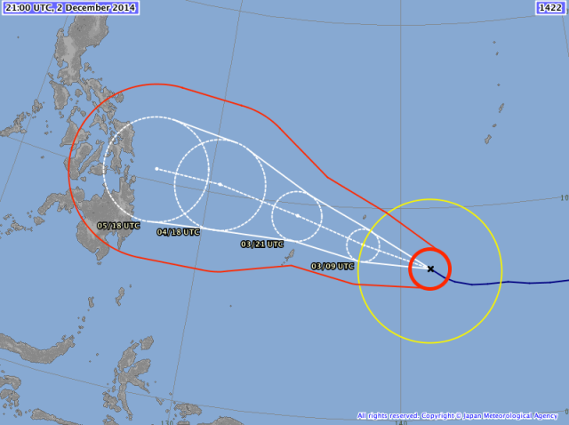 |
| Yolanda 2013 | Ruby 2012 |
HAGUPIT/(Ruby)* Storm data:
| Name (INTL. / local): | HAGUPIT / (Ruby)* |
| Class: | Typhoon Cat.2 |
| Time/Date of observation: | 05:00 AM on December 03, 2014 |
| Location of Center: | 7.2º North 141.3º East |
| Moving Direction and Speed: | West @ 3 km/h |
| Moving towards: | Yap |
| Distance from the Philippines: | 1670 km SE of Siargao |
| Estimated Date / Time of Landfall: | December 6, 2014 |
| Max. Wind Speed near Center: | 150 km/h |
| Peak Wind Gusts: | 185 km/h |
| Minimum Central Pressure: | 959 hPa |
| Diameter: | 1000 km |
| 24h Rainfall near Center: | 100 – 300 mm |
| Max. Wave Height: | 7 – 9 m |
| Here you find how to read and understand this data | |
* The local name Ruby has not yet been assigned but is next on the list
Next update this afternoon or evening.
Nearly real-time storm information
[GARD]







Recent Comments