Typhoon KOPPU/Lando is now affecting the Philippines

Typhoon KOPPU/Lando is already near and upgraded to Cat.2. PAGASA sees it 510 km off the coast of Aurora. The strong winds and heavy rainfalls have begun. Moving west at 15 km/h.
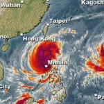
The satellite picture in the header looks less menacing than the previous one? Sorry, this is visual interpretation of an infrared image. These pictures show the humidity of the atmosphere. Less violet means less water in the air. But the cyclone is advancing. Latest data says that Typhoon KOPPU/Lando central pressure is still decreasing and currently at 655 hPa. Winds are up to 80 knots (150 km/h) near the centre and gusts can reach 115 knots (212 km/h).
PAGASA Storm Signals
PAGASA has now published storm warnings.
Signal #2 over:
Aurora
Isabela
Quirino
Nueva Vizcaya
Nueva Ecija
Northern Quezon Polillo Island
Signal #1 over:
Cagayan
Abra
Kalinga
Mountain Province
Ifugao
Benguet
Ilocos Sur
La Union
Pangasinan
Bulacan
Pampanga
Tarlac
Zambales
Bataan
Rizal
Laguna
rest of Quezon Camarines Norte Camarines Sur Catanduanes
Metro Manila
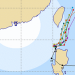
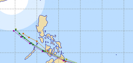
Typhoon KOPPU/Lando track forecast
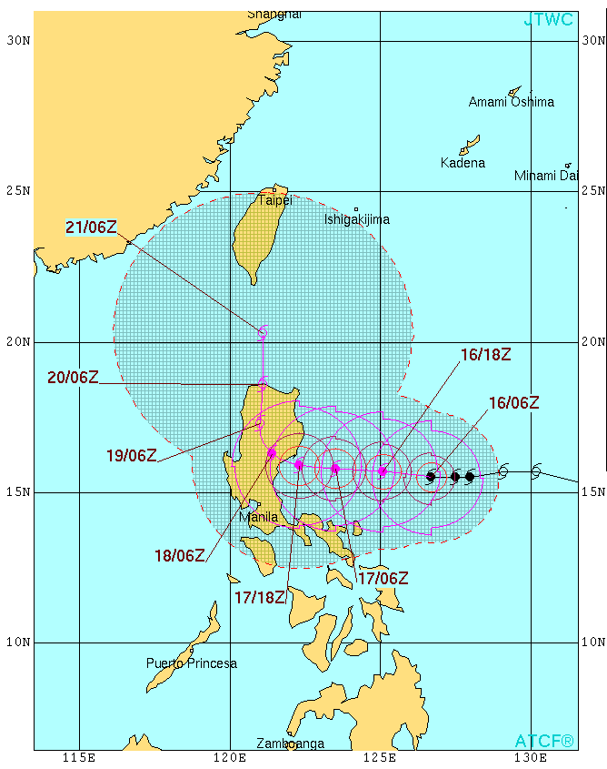 |
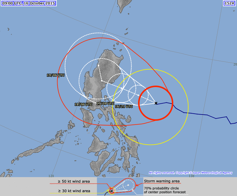 |
| Joint Typhoon Warning Center (JTWC) – click to enlarge | Japan Meteorological Agency (JMA) – click to enlarge |
KOPPU/Lando Storm data:
| Name (INTL. / local): | KOPPU/Lando |
| Class: | Typhoon Category 2 |
| Time/Date of observation: | 08:45 PM on October 16, 2015 |
| Location of Center: | 15.6° North 126.0° East |
| Moving Direction and Speed: | West @ 15 km/h |
| Moving towards: | Northern Luzon |
| Distance from the Philippines: | 500 km E of Baler (Aurora) |
| Estimated Date / Time of Landfall: | Sunday, Isabela/Aurora |
| Max. Wind Speed near Center: | 150 km/h |
| Peak Wind Gusts: | 212 km/h |
| Minimum Central Pressure: | 955 hPa |
| Diameter: | 550km |
| 24h Rainfall near Center: | 100 – 500 mm |
| Max. Wave Height: | 6-8 m Gale Warning |
| Here you find how to read and understand this data | |
Nearly real-time storm information
Next update tomorrow morning.
[GARD]




Recent Comments