Typhoon MATMO/Henry amplifies Habagat
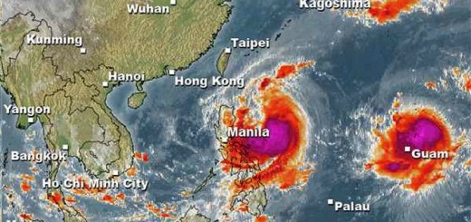
Typhoon MATMO/Henry amplifies Habagat, the south-west monsoon. Here in Camiguin we had bad to nasty weather all day accompanied by the usual brown-out. Some minutes ago a twister passed over Agoho – our coconut trees tilted at least 30 degrees. No damages so far.
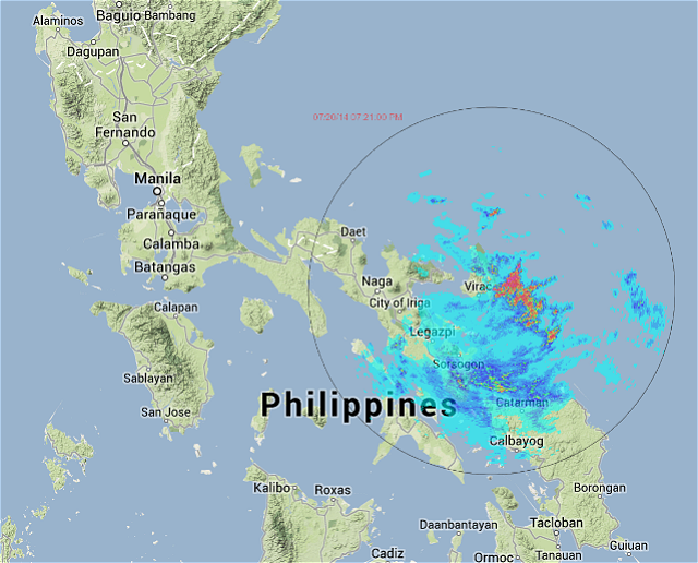
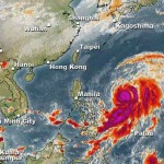
The western and southwestern outer rainbands of Typhoon MATMO/Henry will bring scattered rains and thunderstorms across the Eastern Visayas, Bicol and Eastern Luzon. The Virac Doppler radar shows already heavy rainfall in the vicinity of Catanduanes (see below).
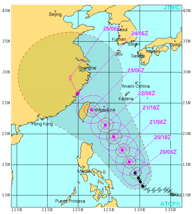
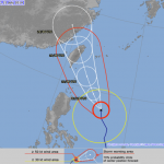
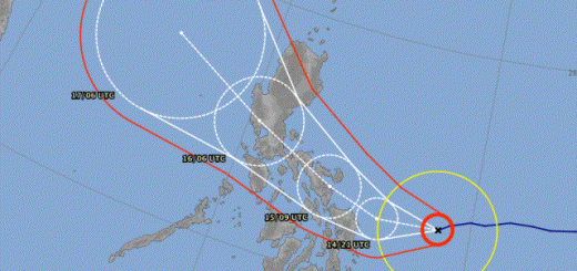
The JMA track shows that the storm turned again to north-west.
MATMA/Henry Storm data:
| Name (INTL. / local): | MATMA /Henry |
| Class: | Typhoon Cat.1 |
| Time/Date of observation: | 05:00 PM on July 20, 2014 |
| Location of Center: | 14.3º North 128.3º East |
| Moving Direction and Speed: | Northwest @ 26 km/h |
| Moving towards: | Batanes Islands |
| Distance from the Philippines: | 440 km E of Catanduanes |
| Estimated Date / Time of Landfall: | n/a |
| Max. Wind Speed near Center: | 120 km/h |
| Peak Wind Gusts: | 150 km/h |
| Minimum Central Pressure: | 974 hPa |
| Diameter: | 550 km |
| 24h Rainfall near Center: | 200 – 500 mm |
| Max. Wave Height: | 10 – 12 m |
| Here you find how to read and understand this data | |
Nearly real-time storm information
[GARD]




Recent Comments