Typhoon NURI/Paeng still zigzag
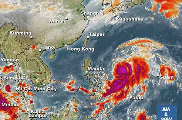
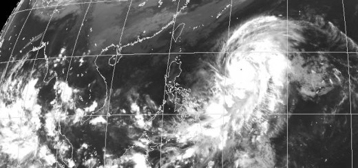
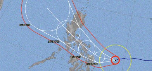
NURI/Paeng got typhoon strength early this morning. As a Typhoon Category 1 the directional forces aren’t yet built up. The storm center still moves on a zigzag course. Typhoon NURI/Paeng will gain further strength and become a Category 2 Typhoon today.

Meteorologists expect that Typhoon NURI/Paeng will gain Category 4 strength by Wednesday.
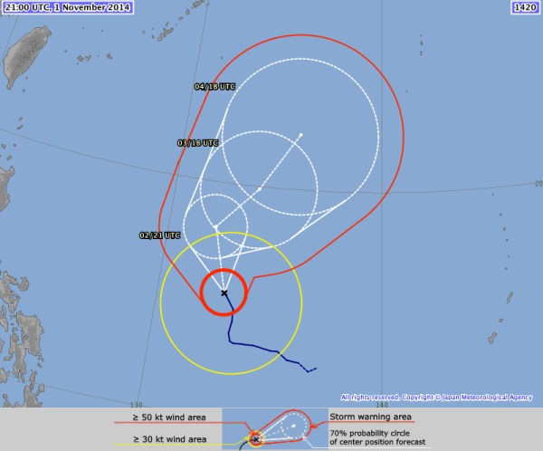
NURI/Paeng Storm data:
| Name (INTL. / local): | NURI / Paeng |
| Class: | Typhoon Cat. 1 |
| Time/Date of observation: | 05:30 AM on November 2, 2014 |
| Location of Center: | 15.2º North 132.8º East |
| Moving Direction and Speed: | North-Northwest @ 17 km/h |
| Moving towards: | North Philippine Sea |
| Distance from the Philippines: | 945 km E of Catanduanes |
| Estimated Date / Time of Landfall: | n/a |
| Max. Wind Speed near Center: | 140 km/h |
| Peak Wind Gusts: | 175 km/h |
| Minimum Central Pressure: | 967 hPa |
| Diameter: | 1030 km |
| 24h Rainfall near Center: | 100 to 400 mm |
| Max. Wave Height: | 8 – 10 m |
| Here you find how to read and understand this data | |
Nearly real-time storm information
[GARD]
We keep an eye on this storm and will inform twice daily around 8 a.m. and 8 p.m. (Philippines Standard Time).





Recent Comments