Typhoon UTOR / Labuyo is now Category 4 !
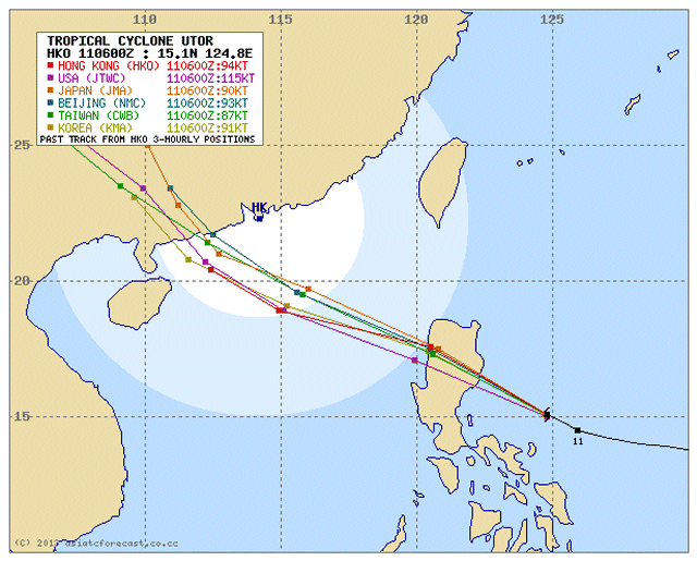
Typhoon UTOR / Labuyo has significantly intensified during its approach of the Philippines. Already by noon peak wind speeds of 230 km/h were measured. Rainfall is getting heavy with 300 mm in 24 hours.
DANGER: Aside the high wind speed of up to 235 km/h the heavy rainfall may trigger landslides and flash-floods.


Storm data:
| Name (INTL. / local): | UTOR / Labuyo |
| Class: | Typhoon Category 4 |
| Time/Date of observation: | 04:40 PM on August 11, 2012 |
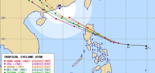
| Location of Center: | 15.3º North 124.3º East |
| Moving Direction and Speed: | West-Northwest @ 22 km/h |
| Moving towards: | Aurora-Quirino Area |
| Distance from the Philippines: | 375 km from Casiguran, Aurora |
| Estimated Date / Time of Landfall: | Monday morning 03:00 – 06:00 a.m. in Aurora-Quirino Area |
| Max. Wind Speed near Center: | 195 km/h |
| Peak Wind Gusts: | 245 km/h |
| Minimum Central Pressure: | 948 hPa |
| Diameter: | 555 km |
| 24h Rainfall near Center: | 300 mm |
| Max. Wave Height: | 10 m |
Here you find how to read and understand this data  |
|
Next update around 07:00 PM this evening.
Related posts
 November 18, 2015 Tropical Storm IN-FA moving west Tropical Storm IN-FA is moving west. This storm is still far away from the Philippines but has the potential to amplify to a Typhoon Cat. […]
- October 15, 2015 Tropical Storm KOPPU/Lando a bit slower Tropical Storm KOPPU/Lando advanced a bit slower than forecasts predicted. While still moving westward it gained a bit of strength. The […]
- October 14, 2015 Tropical Storm KOPPU/Lando straight westward Tropical Storm KOPPU/Lando continues on its westward track. It has slightly slowed down the forward speed from 25 to 20 km/h. It has […]
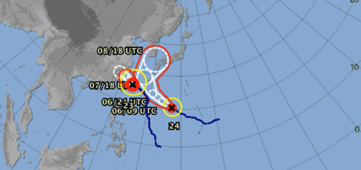
- October 13, 2015 Two Tropical Depressions in a row Two Tropical Depressions in a row are approaching the Philippines. The nearer one at 142° E, is moving westward at 15 km/h. The second one […]
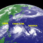
- July 8, 2015 CHAN-HOM and NANGKA – Habagat Amplifiers Last weekend, Tropical Storm LINFA/Egay brought a lot of rain over northern Luzon. Now it is enhancing the southwest monsoon (Habagat) […]


Recent Comments