Typhoon UTOR / Labuyo now crossing over northern Luzon
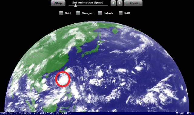
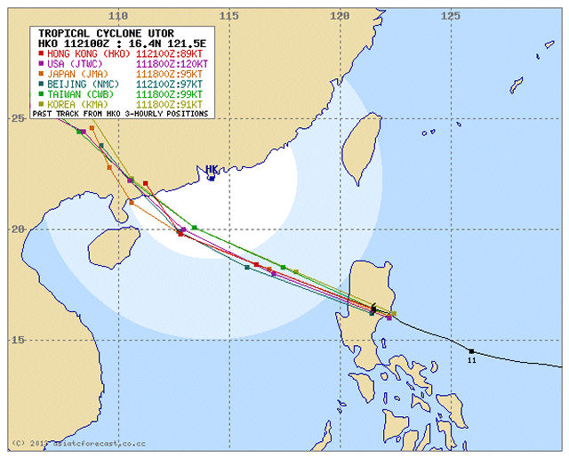
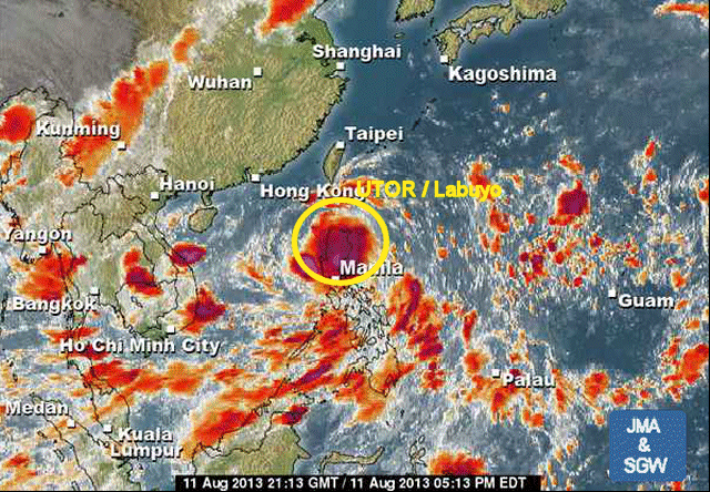
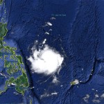
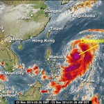
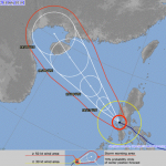
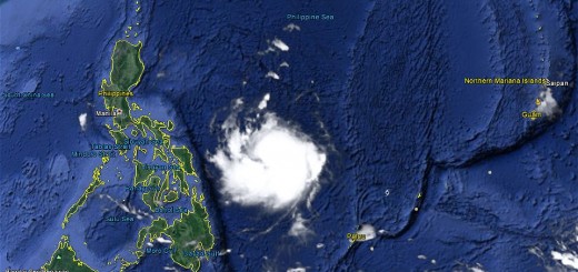
Typhoon UTOR / Labuyo weakens after it made landfall over Casiguran, Aurora early this morning. Stormy weather will continue throughout the day across Northern Luzon. Its outer rainbands will continue to affect Central Luzon including Metro Manila. The storm is moving towards San Fernando / La Union.
DANGER: Wind gusts can go up to 250 km/h and heavy rainfall may trigger landslides and flash-floods. Look for shelter now!!!
Storm data:
| Name (INTL. / local): | UTOR / Labuyo |
| Class: | Typhoon Category 3 |
| Time/Date of observation: | 07:00 AM on August 12, 2012 |
| Location of Center: | 16.4º North 121.7º East |
| Moving Direction and Speed: | West-Northwest @ 28 km/h (fast) |
| Moving towards: | La Union Area |
| Distance from the Philippines: | 102km from San Fernando |
| Estimated Date / Time of Landfall: | happened this morning near Casiguran, Aurora |
| Max. Wind Speed near Center: | 205 km/h |
| Peak Wind Gusts: | 250km/h |
| Minimum Central Pressure: | 941 hPa |
| Diameter: | 555 km |
| 24h Rainfall near Center: | 350 mm |
| Max. Wave Height: | n/a |
Here you find how to read and understand this data  |
|
Next update around 12 noon today.





Recent Comments