#WestValleyFault Earthquake
Within a few days the hashtag #WestValleyFault spread all over the Philippines. It became so viral that in different forums people were asking about the Magnitude 7.2 earthquake that hit Metro Manila last Sunday.
There had been no Earthquake in Manila!
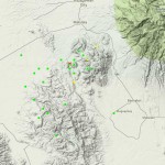
What has happened? PHIVOLCS, the Philippine Institute of Volcanology and Seismology is continuously assessing and analyzing potential dangers from earthquakes and volcano eruptions. One kind of result of this work are Hazard Maps. Last week Dr. Renato U. Solidum presented the newest Hazard Map, the Valley Fault System (VFS) Atlas, a handbook of large scale maps showing in detail areas traversed by the Valley Fault System, was finally unveiled on May 18, 2015 at the institute’s auditorium, Quezon City.
I had the pleasure to attend to such an information meeting with Dr. Renato U. Solidum. The PHIVOLCS presentation were given during the “The Swiss Embassy’s Wardens” meeting.
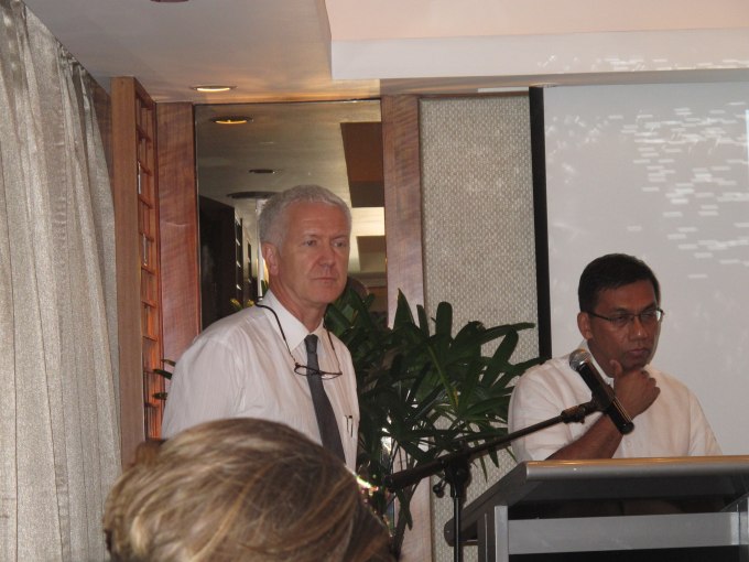 His Excellency Ivo Sieber (left) and Dr. Renato U. Solidum (right).
There are many Hazard Maps available on the PHIVOLCS website. You may also find the Hazard Maps for the currently active volcanoes on our Active Volcano Page.
The West Valley Fault
Faults occur when two tectonic plates move relative to each other. Here is a diagram of different fault types:
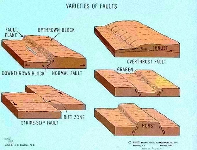
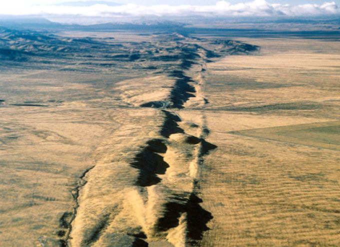
Many faults and fault systems are not visible because they lay deep down in the earth-crust. Other fault lines are at the surface and can be seen either directly on the ground, or if they are very large, from an aircraft.
 |
 |
 |
 |
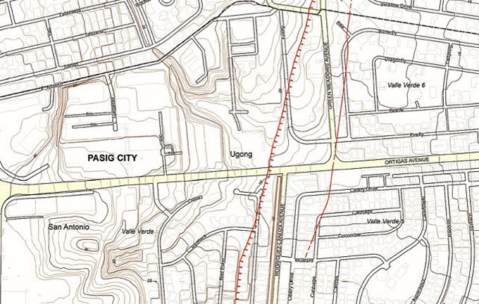
The Valley Fault Systems (VFS) have now been closely analyzed. The result of this work is “The Valley Fault System in Greater Metro Manila Area Atlas”.
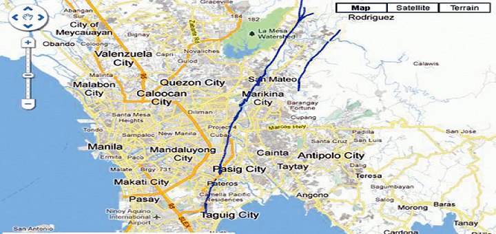
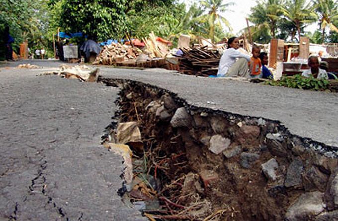
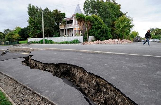
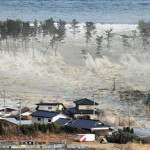
The VFS is an active fault system in the Greater Metro Manila Area (GMMA) with two fault traces: the 10 km long East Valley Fault in Rizal and the 100 km long West Valley Fault runs through different cities and towns of Bulacan, Rizal, Metro Manila, Cavite and Laguna. The West Valley Fault can generate a large earthquake which poses threat to people’s lives, buildings and infrastructures, and livelihood.
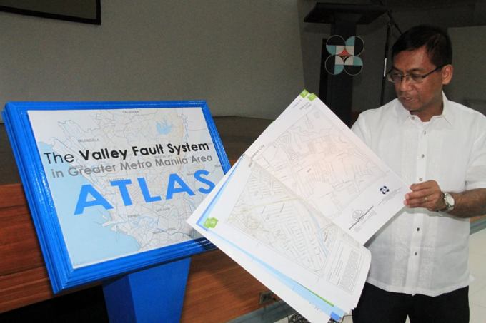
This Atlas allows house owners, lot owners, engineers and construction companies to find the fault line very precisely on large scale maps.
Director Renato U. Solidum said that the location of active faults is a major basis for people’s preparedness for earthquakes, appropriate land use, contingency planning for disaster response, and design of houses, buildings and infrastructures. Future development needs to consider these faults so people won’t be at risk.
“The Valley Fault System Atlas is the Key to people’s awareness and preparedness for earthquakes, appropriate land use, contingency planning for disaster response, and design of houses, buildings and infrastructures, is the location of active faults. The Valley Fault System Atlas was conceptualized as a handy reference for everyone to serve as a guide in making sure that areas traversed by active faults are avoided as sites of houses and structures and considered in various mitigation and response actions to enhance the safety and resilience of communities to strong earthquake events.”
“Nobody can accurately predict exactly when or where an earthquake will occur- the best we can do is to be informed where the risks and vulnerabilities potentially are and prepare and plan ahead for these. VFS Atlas is a critical tool to support development planning and programming. If development is not risk informed, it is not sustainable.”
Panic is the worst Advisory
A cartoon published on getrealphilippines.com illustrates perfectly how many people act.

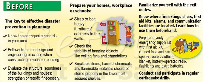
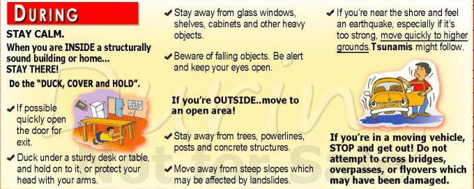
PHIVOLCS has published a handy little booklet with recommendations what to do before, during and after an earthquake:

Again: There had been no Earthquake in Manila! But there is a growing risk that a Magnitude 7.2 Earthquake may happen in the Valley Fault Systems. When it will happen – nobody can predict!
[GARD]
Related posts
 May 19, 2016 1000th Earthquake 2016 in the Philippines The 1000th Earthquake occurred last night at 09:05 PM near Calintaan, Occidental Mindoro. The first 4 months of 2016 we recorded more […]
- November 22, 2014 Manila Trench is rocking The Manila Trench is an oceanic trench in the Pacific Ocean, located west of the islands of Luzon and Mindoro. This subduction […]
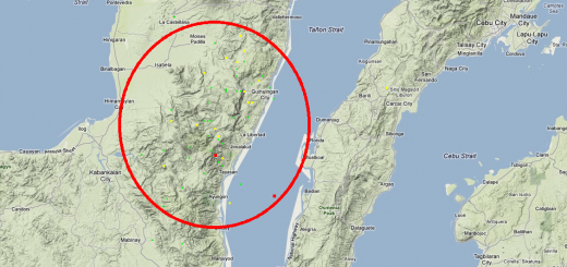
- November 5, 2014 Shaky night in Bohol – Earthquakes in Catigbian Last night the earth shook in Bohol. One 4.0 Earthquake in Catigbian and 3 aftershocks. Around 10 p.m. we got a message from a friend […]
- September 21, 2014 Earthquake swarm hit North Cotabato An Earthquake swarm hit North Cotabato yesterday and this morning. Up to now 21 earthquakes of magnitudes between 2.4 and 5.2 hit the […]
- July 7, 2014 1000 Earthquakes This morning at 03:37 PHIVOLCS recorded the 1000th earthquake this year. The quake happened 7 km north-east of Santa Ana (Cagayan). It had […]


Recent Comments