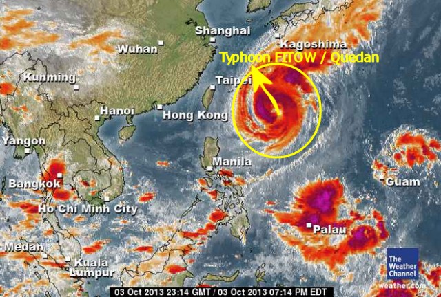
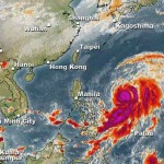
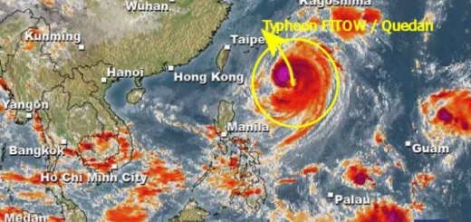
Typhoon FITOW / Quedan is now north of the Philippines. As predicted it got stronger during the night and has developed a clearly visible eye. The storm is still moving slowly northwards at 7 km/h.
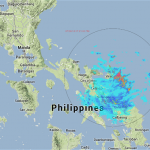
Typhoon FITOW / Quedan still enhances Habagt, the south-west monsoon in the Philippines.

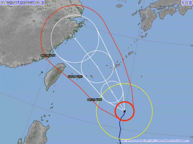
The track forecast by JMA shows that this typhoon will move towards Shanghai.

The Low Pressure Area LPA 97W near Guam has also gotten stronger and has been upgraded to a Tropical Depression.
We keep an eye on Severe Typhoon FITOW / Quedan and the Tropical Depression 97W. For more and near real-time information see here:
Old Weather Page 
New Weather Page 
New Marine Weather Page 
Related posts
 October 3, 2013 Typhoon FITOW / Quedan now North of the Philippines Severe Tropical Storm FITOW / Quedan is to be upgraded to Typhoon Cat.1 within an hour. The storm is now north of the Philippines. It is […]
 October 16, 2015 Typhoon KOPPU/Lando brings first heavy rains Typhoon KOPPU/Lando brings the first heavy rains to the Philippines. Winds on the north-east coast are now stronger than 30 knots (55 […]
 May 7, 2015 Typhoon NOUL/Dodong now Cat.1 Typhoon NOUL/Dodong has gained strength and has entered PAR. The cyclone has turned northwest and has increased forward speed to 15 - 19 […]
 November 2, 2014 Typhoon NURI/Paeng still zigzag NURI/Paeng got typhoon strength early this morning. As a Typhoon Category 1 the directional forces aren't yet built up. The storm center […]
 July 20, 2014 Typhoon MATMO/Henry amplifies Habagat Typhoon MATMO/Henry amplifies Habagat, the south-west monsoon. Here in Camiguin we had bad to nasty weather all day accompanied by the […]





Recent Comments