Typhoon HAIMA/Lawin upgraded to category 4 becoming a Super Typhoon
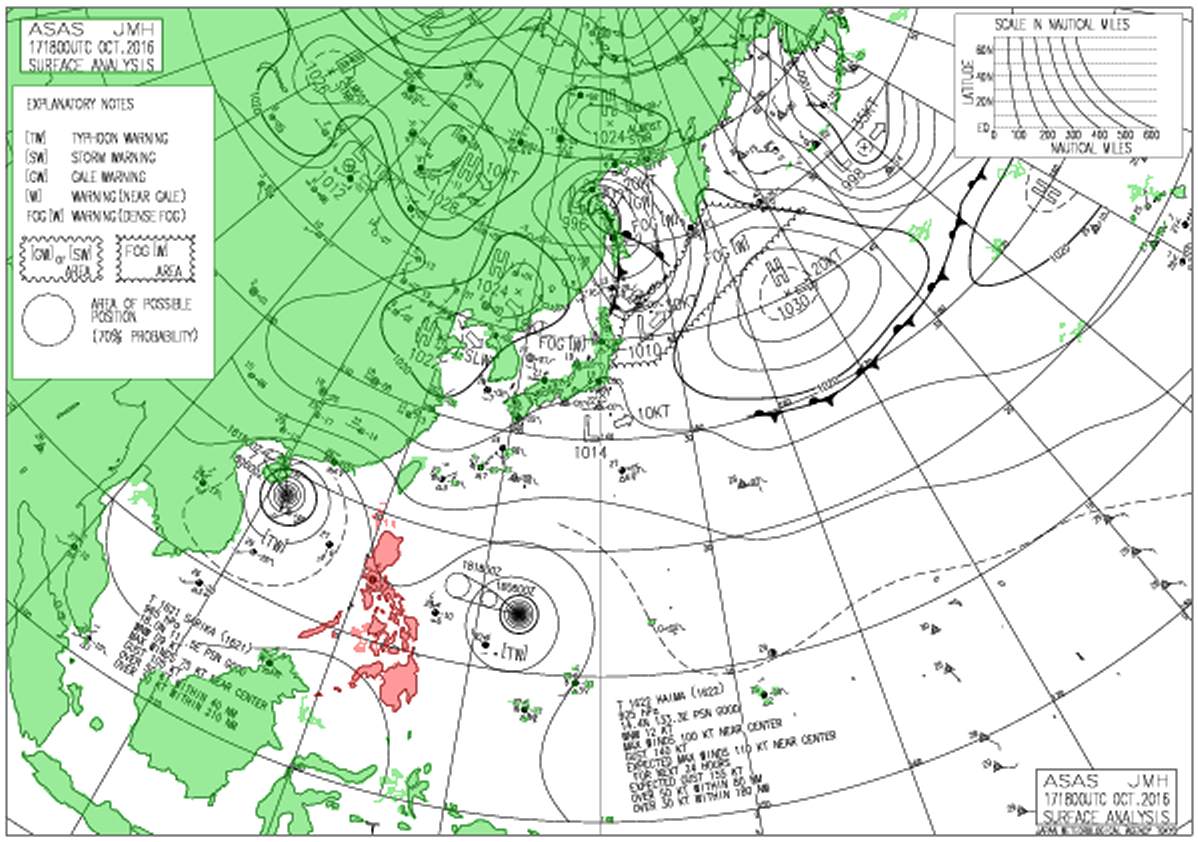
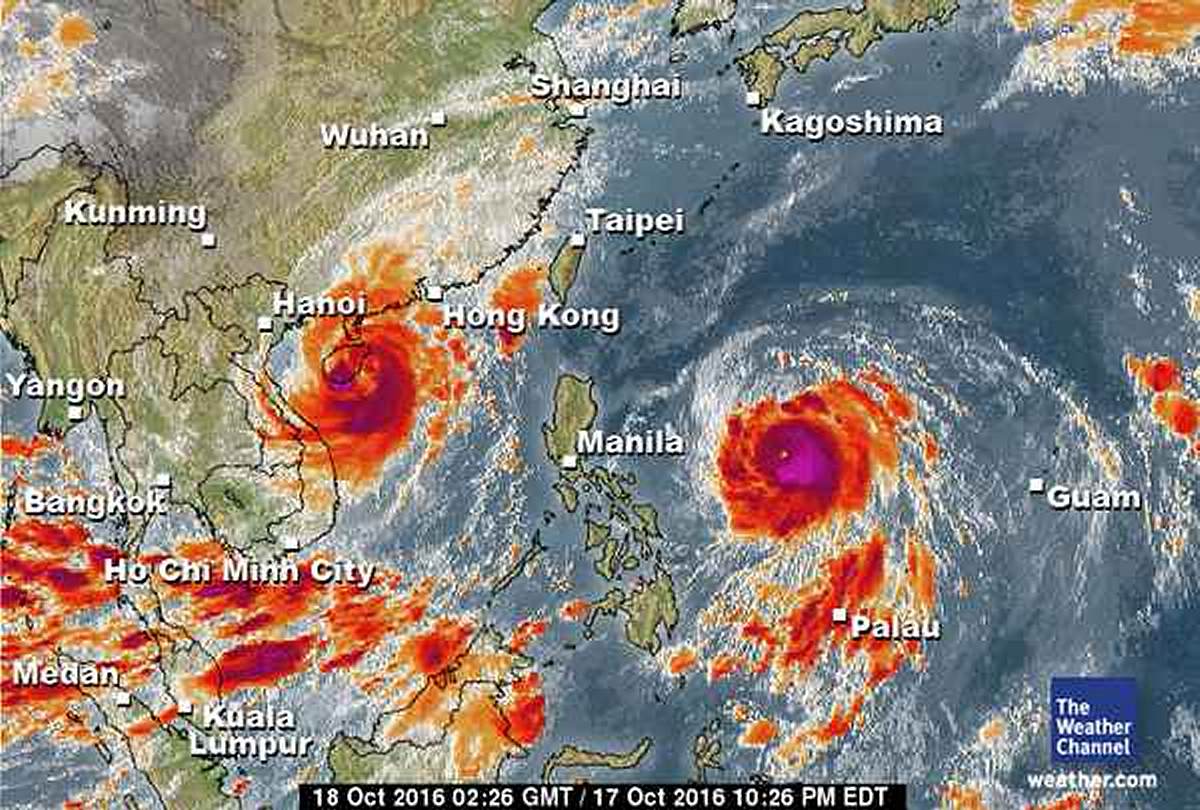
Typhoon HAIMA/Lawin has been upgraded to cyclone category 4. JMA has already attributed their highest category: VIOLENT
Typhoon HAIMA/Lawin has further intensified as it continues to move fast across the eastern part of the Central Philippine Sea. Current forward speed is 26 km/h in west to north-western direction. This cyclone could become a Super Typhoon today and is likely to threaten Northern Luzon within the next two days. Residents along its path are advised to take all necessary precautions.
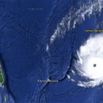
Since last night the cyclone shows a small but clearly visible eye. Circular winds around the centre are now over 200 km/h with gusts going up to 250 km/h. The trend is increasing wind speeds.
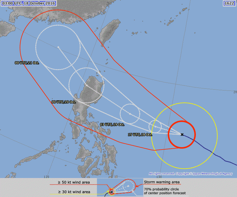
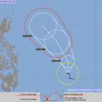
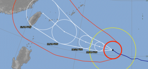
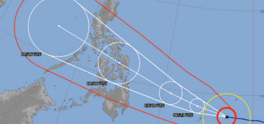
Typhoon HAIMA/Lawin Track forecast:
JMA and HKO predict a more southern path than JTWC. We stay with the Japanese weather model which has often been the best track forecast.
Typhoon HAIMA/Lawin Storm data:
| Name (INTL. / local): | HAIMA / Lawin |
| Class: | Typhoon Cat.4 |
| Time/Date of observation: | 11:00 AM on October 18, 2016 |
| Location of Center: | 14.9º North 132.2º East |
| Moving Direction and Speed: | West-Northwest @ 26 km/h |
| Moving towards: | Northern Luzon |
| Distance from the Philippines: | 983 km E of Legazpi City, Albay |
| Estimated Date / Time of Landfall: | October 20, 2016 |
| Max. Wind Speed near Center: | 205 km/h |
| Peak Wind Gusts: | 250 km/h |
| Minimum Central Pressure: | 925 hPa |
| Diameter: | 700 km |
| 24h Rainfall near Center: | 25 – 250 mm |
| Max. Wave Height: | 7 – 10 m |
| Here you find how to read and understand this data | |
Nearly real-time storm information
[GARD]




Recent Comments